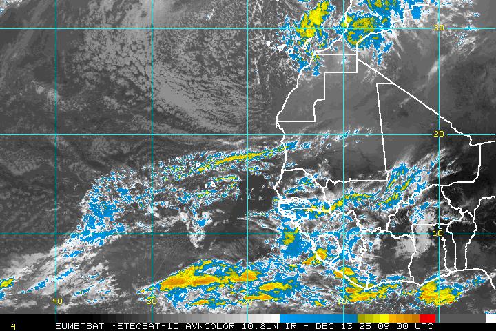
This will be official at 11am EDT. Was recently named TD2. Furthest east a storm has formed so early, replaces... Bertha of 1996.
Posted on 07/03/2008 7:20:52 AM PDT by nwctwx

This will be official at 11am EDT. Was recently named TD2. Furthest east a storm has formed so early, replaces... Bertha of 1996.
ping.
I’ve never heard the term “fish storm” before...
Should be good enough to raise old prices about $5 a barrel today.
haha, perhaps a weather forum term. basically means it won’t affect many besides the fish.
Our first weather satellite was Vanguard 2 launched late in 1959. That would have been the first year we would have been able to detect a storm like this. We had one named storm in May and one in June last year. We are ahead of the curve this year.
D’uhhhh! That makes sense now. Sholda realized that.
Where is the Bermuda High?
I’ve heard that water temps are fairly low this year. Since water temp is what feeds these storms its expected to be a slow/weak season. At least thats what they are telling us here in Florida.
Of course that wont make insurance or oil prices go down so we wont hear about it.
Statement as of 11:00 am EDT on July 03, 2008
...Second tropical storm of the 2008 Atlantic season forms in the
far eastern Atlantic near the Cape Verde Islands...
...Outer rainbands affecting the southern Cape Verde Islands...
interests in the southern Cape Verde Islands should monitor the
progress of Bertha.
For storm information specific to your area...including possible
inland watches and warnings...please monitor products issued
by your local weather office.
At 1100 am EDT...1500z...the center of Tropical Storm Bertha was
located near latitude 13.3 north...longitude 24.7 west or about 190
miles...310 km...south-southwest of the Cape Verde Islands.
Bertha is moving toward the west-northwest near 14 mph...22 km/hr.
This general motion is expected to continue over the next couple of
days.
Maximum sustained winds are near 40 mph...65 km/hr...with higher
gusts. Some gradual strengthening is forecast during the next day
or two.
Tropical storm force winds extend outward up to 35 miles...55 km
from the center.
Estimated minimum central pressure is 1006 mb...29.71 inches.
While the center of Bertha will be moving away from the southern
Cape Verde Islands today...outer rainbands are expected to bring
locally heavy rainfall and gusty winds to portions of the Cape
Verde Islands during the next 24 hours.
Repeating the 1100 am EDT position...13.3 N...24.7 W. Movement
toward...west-northwest near 14 mph. Maximum sustained winds...40
mph. Minimum central pressure...1006 mb.
The next advisory will be issued by the National Hurricane Center at
500 PM EDT.
$$
Forecaster Brown
Recently we’ve had a big ridge out in the western U.S., and that typically leads to a trough of low pressure somewhere in the east. Outside a brief buildup in early June we have not seen any real prolonged Bermuda or southeast ridge.
There are some indications that we start seeing more ridging in the east by mid-late month, but quite likely too late to help (if it could at all) move this system to close to the U.S.
Even in prime Cape Verde season storms that form this far east are difficult to get to the mainland U.S. It is probably at least a sign we are going to go deep into the alphabet this season though.
Tropical Storm Bertha Discussion Number 2
Statement as of 11:00 am EDT on July 03, 2008
this mornings visible satellite imagery show that the cloud pattern
has become better organized with two distinct spiraling bands
of deep convection. Dvorak intensity estimates from TAFB and SAB
are 35 kt....therefore the system has been upgraded to a tropical
storm...the second of the 2008 Atlantic season.
Recent microwave and visible satellite imagery suggest that the
center is a little farther north and west of the previous
estimates. Because of the relocation of the center...the initial
motion is a somewhat uncertain 285/12...a little faster than
before. Bertha is located to the south of a mid-level ridge over
the eastern Atlantic and model guidance is in fairly good agreement
on a continued west-northwestward track during the next 2-3 days.
Thereafter...the models suggest that Bertha will approach a
weakness in the subtropical ridge over the central Atlantic. The
GFS...HWRF...and GFDL models therefore show a northwestward turn
late in the forecast period. The new official forecast is a little
faster and north of the previous track and is close to a consensus
of the GFDL...GFS...HWRF...and ECMWF models.
Vertical wind shear is forecast to remain light during the next few
days...however...cooler waters along the forecast track should
limit intensification. SSTs along the track are expected to
increase after 48 hours which would favor some strengthening.
However...late in the forecast period southwesterly shear is
expected to increase which again should halt strengthening. The
SHIPS and lgem models predict Bertha to become a hurricane in 72 to
96 hours. However...the new intensity forecast will remain a
little more conservative which is closer to the GFDL and HWRF
solutions.
Outer rainbands associated with Bertha are expected to bring gusty
winds and locally heavy rainfall to portions of the southern Cape
Verde Islands during the next 24 hours.
Forecast positions and Max winds
initial 03/1500z 13.3n 24.7w 35 kt
12hr VT 04/0000z 13.8n 26.7w 40 kt
24hr VT 04/1200z 14.7n 29.4w 45 kt
36hr VT 05/0000z 15.6n 32.5w 45 kt
48hr VT 05/1200z 16.6n 35.8w 50 kt
72hr VT 06/1200z 18.5n 42.5w 55 kt
96hr VT 07/1200z 21.5n 48.5w 55 kt
120hr VT 08/1200z 25.0n 52.0w 55 kt
$$
forecaster Brown
Is there a “we are all going to die” ping list?
Not true. water temps are generally above normal across the Tropical Atlantic; a bit below normal in the Carribean, and above normal in the Gulf of Mexico.
You can't go by the water temperatures at the immediate coast, as those will fluctuate wildly from week to week based on wind direction, etc.
The hot spot behind her could cause us some grief though.
Here’s to another massive hurricane season like the last two.
Cheers!
Disclaimer: Opinions posted on Free Republic are those of the individual posters and do not necessarily represent the opinion of Free Republic or its management. All materials posted herein are protected by copyright law and the exemption for fair use of copyrighted works.