| The University of Texas at Austin |
|
Posted on 03/23/2003 6:40:46 PM PST by vannrox
| Country Maps | City Maps | Detailed Maps | Thematic Maps | Historical Maps | Other Map Sites - Updated |
|---|
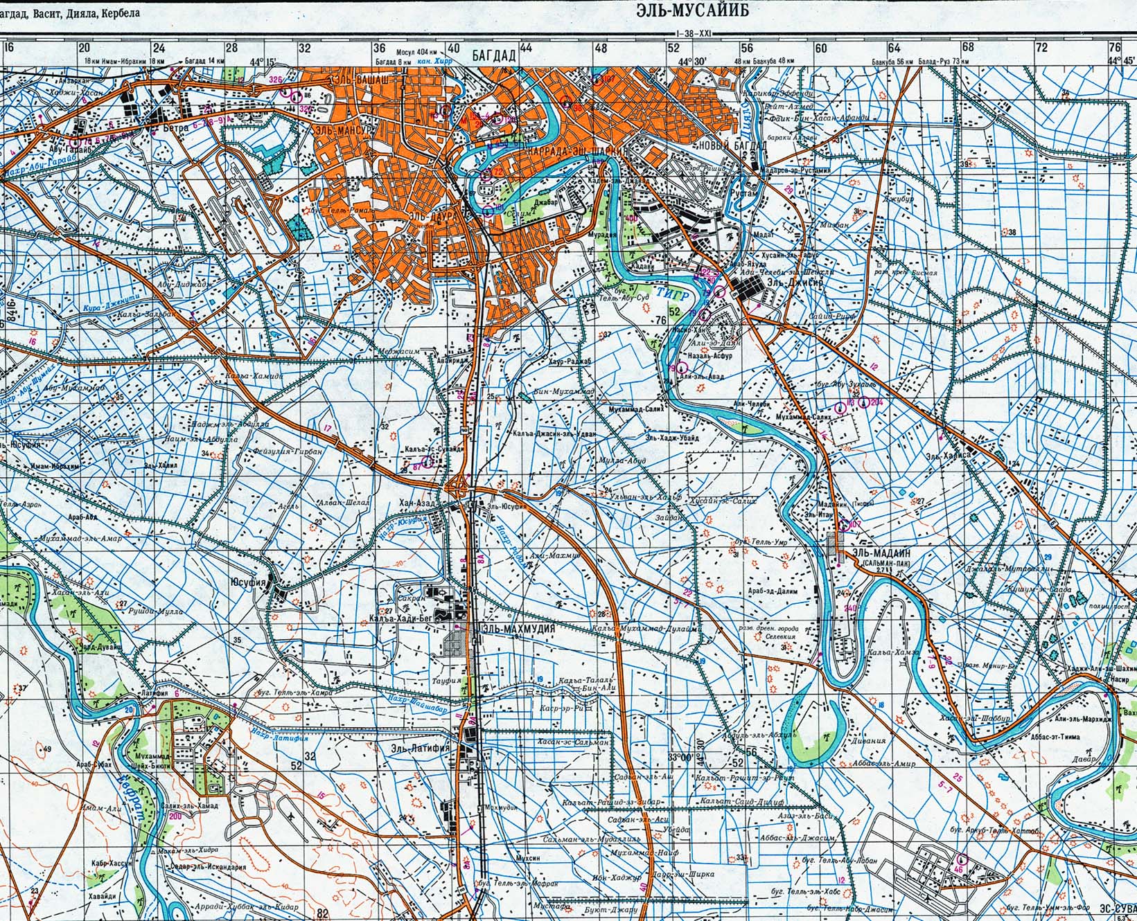
The following maps were produced by the U.S. Central Intelligence Agency, unless otherwise indicated.
Maps on Other Web Sites [1990-1991]:
Gulf War Maps on Other Web Sites [1998]:
|
|
||||||
|
|
||||||
|
|
|
|||||
|
|
||||||
|
|
How do I...? -- Ask us (Library FAQs) -- Sitemap | |||||
|
|
||||||
|
|
||||||
|
||||||
5.56mm
And your post is amap-ping! Bump.
Iraqi AirfieldsThe mission of the Air Force is to conduct independent air attacks against enemy targets, to participate in the defense of the country against hostile air action, and to support the Army and Navy by air strikes, reconnaissance, and air supply and transport. Major air bases are located at Al Sahra, Al Taqaddum, Amara New, Baghdad/Muthenna, Balad Southeast, Irbil, Injanah, Jalibah, Karbale Northeast, Kirkuk, Mosul, Najaf, Qayyarah, Rasheed, Safwan, Salman Pak, Salum, Samarra East, Shaibah, Shayka Mazhar, Sabakhu, Tallil, and Ubaydah Bin al Jarrah. There are two major international airports in Iraq, at Baghdad and Basrah: in addition, there are over 100 other airports of varying sizes scattered around the country.
|


As it says in my profile, my coined statement is "Anything done in moderation shows a lack of interest."
I can't accuse you of being a moderate in this map post.
Great job. - Tom
Disclaimer: Opinions posted on Free Republic are those of the individual posters and do not necessarily represent the opinion of Free Republic or its management. All materials posted herein are protected by copyright law and the exemption for fair use of copyrighted works.