Posted on 08/02/2024 2:11:33 PM PDT by NautiNurse
Tropical Storm watches and warnings have been issued from the Florida Keys up the Florida Gulf Coast to Suwanee. The system is crossing Central Cuba, moving at 16mph. The disturbance is expected to develop into a tropical depression on Saturday as it moves across the Straits of Florida, followed by intensification into a tropical storm by Saturday night. Governor DeSantis declared a state of emergency for 54 counties, most along the Gulf Coast and in northern Florida, to move assets in preparation for the storm.
August 13 marks 20 years since Hurricane Charley made landfall near Punta Gorda FL.
The rapid strengthening of Charley in the eastern Gulf of Mexico caught many by surprise. Around five hours before its Florida landfall, Charley was a strong Category 2 hurricane predicted to strengthen its strongest winds to 115 mph upon its landfall in the Tampa–Saint Petersburg area. About two hours before landfall, the National Hurricane Center issued a special advisory, notifying the public that Charley had become a 145 mph Category 4 hurricane, with a predicted landfall location in the Port Charlotte area. As a result of this change in forecast, numerous people in the Charlotte County area were unprepared for the hurricane, although the new track prediction was well within the previous forecast's margin of error. National Hurricane Center forecasting intern Robbie Berg publicly blamed the media for misleading residents into believing that a Tampa landfall was inevitable.
Mash the graphics below to enlarge. All links and images are self-updating.
Tropical Tidbits by Levi Cowan
Local News:
FOX4 News Southwest Florida
WWSB Sarasota/Bradenton
WFLA Tampa Bay
WESH2 Orlando
It’s WINDY today, unlike yesterday. Squalls come through with pouring rain, then abruptly stops- you know the drill. Tornado watch over here. Looks like Jax is in for a rough morning.
I met John Berendt, the author once years ago along with UGA’s Sonny Seiler. Berendt was a strange but interesting guy. Yeah South Georgian’s are tough but the flooding this storm may bring is going to test their mettle.
~~~~~~ I am so jealous, and you met Sonny! Was Uga there? GO DAWGS
ICON Model now backing off of a Wilmington strike — mostly — but is in line with NHC track... and a ~966mb second landfall North of Hilton Head.
With all the local flooding, I'm guessing no trash pickup today.
Tornado warning N Central Polk Co. near Auberndale, moving NE at 40 mph.
With Debby drawing feeder bands from both the Gulf and Atlantic waters, it is a formidable storm system.
Yeah, the 48-hr precipitation rates are well over a foot for a big area.
BULLETIN
Hurricane Debby Intermediate Advisory Number 12A
NWS National Hurricane Center Miami FL AL042024
800 AM EDT Mon Aug 05 2024
...DEBBY JUST INLAND IN THE FLORIDA BIG BEND REGION...
...EXPECTED TO BRING MAJOR FLOODING OVER THE SOUTHEASTERN
UNITED STATES DURING THE NEXT FEW DAYS...
SUMMARY OF 800 AM EDT...1200 UTC...INFORMATION

In Winter Haven I just got a cell phone alert that cloud rotation was spotted near Lake Alfred, a few miles from here. Tornado watch extended until 4 p.m. I have a pine tree branch (about 6-inch diameter) down in the front yard, but that is all I see this morning.
Lots and lots of inland tornadic activity with the system already. Keep weather alert sources close at hand.
Along the Central FL Gulf coast, we are expecting squall lines to continue throughout the day. I guess we could call it an atmospheric river, as the MSM loves to say.
NautiNurse :( Post # 248) “800 AM EDT Mon Aug 05 2024
...DEBBY JUST INLAND IN THE FLORIDA BIG BEND REGION…
...EXPECTED TO BRING MAJOR FLOODING OVER THE SOUTHEASTERN UNITED STATES DURING THE NEXT FEW DAYS...”
--------------------------------------------------------------------------
SUMMARY OF 800 AM EDT...1200 UTC...INFORMATION
LOCATION...29.9N 83.4W
ABOUT 60 MI...95 KM NNW OF CEDAR KEY FLORIDA
MAXIMUM SUSTAINED WINDS...75 MPH...120 KM/H
PRESENT MOVEMENT...NNE OR 20 DEGREES AT 10 MPH...17 KM/H
MINIMUM CENTRAL PRESSURE...979 MB...28.91 INCHES
---------------------------------------------------------------------------
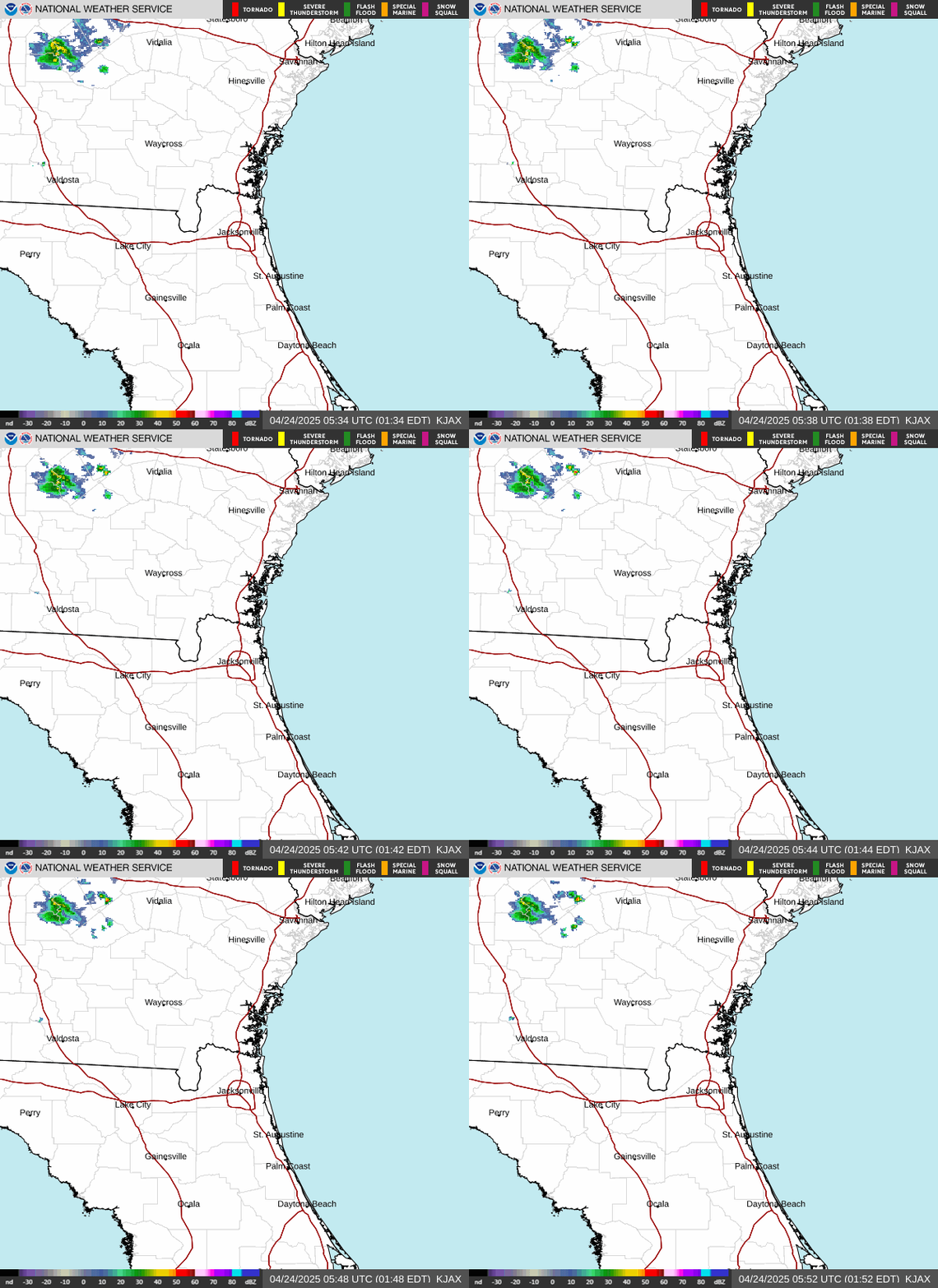
NautiNurse :( Post # 249) Current Radar out of Jacksonville Florida
Showing heavy bands of rain and locations
Same impact as Idalia last year. The Manatees there are not doing well as it is.
Family in Gainesville said roads are treacherous and roof at the shop is leaking. They canceled work for the day.
Are you in Crystal River or near there?
A few hours away near Mexico Beach.
Tornado warnings in my area off and on as a heavy rain band comes through north of Orlando. Seminole county is getting heavy rain and also had tornado warning in Altamonte Springs.
Disclaimer: Opinions posted on Free Republic are those of the individual posters and do not necessarily represent the opinion of Free Republic or its management. All materials posted herein are protected by copyright law and the exemption for fair use of copyrighted works.