Yep. But then, local grocery stores used to print tracking charts on the paper grocery sacks. I like the modern graphics we have now, but sort of miss listening to the coordinates being updated on the radio and jotting a new pencil dot on the grid.
“Yep. But then, local grocery stores used to print tracking charts on the paper grocery sacks. I like the modern graphics we have now, but sort of miss listening to the coordinates being updated on the radio and jotting a new pencil dot on the grid. “
The newspaper used to print a double page map of the Gulf with Lat and Lon printed on for tracking storms. Dad had a plastic lid to a can of nuts he used to trace onto the map at the latest coordinates.
I used to have the track of Fredrick in ‘79 on newspaper framed. Ironically it was destroyed in Katrina.
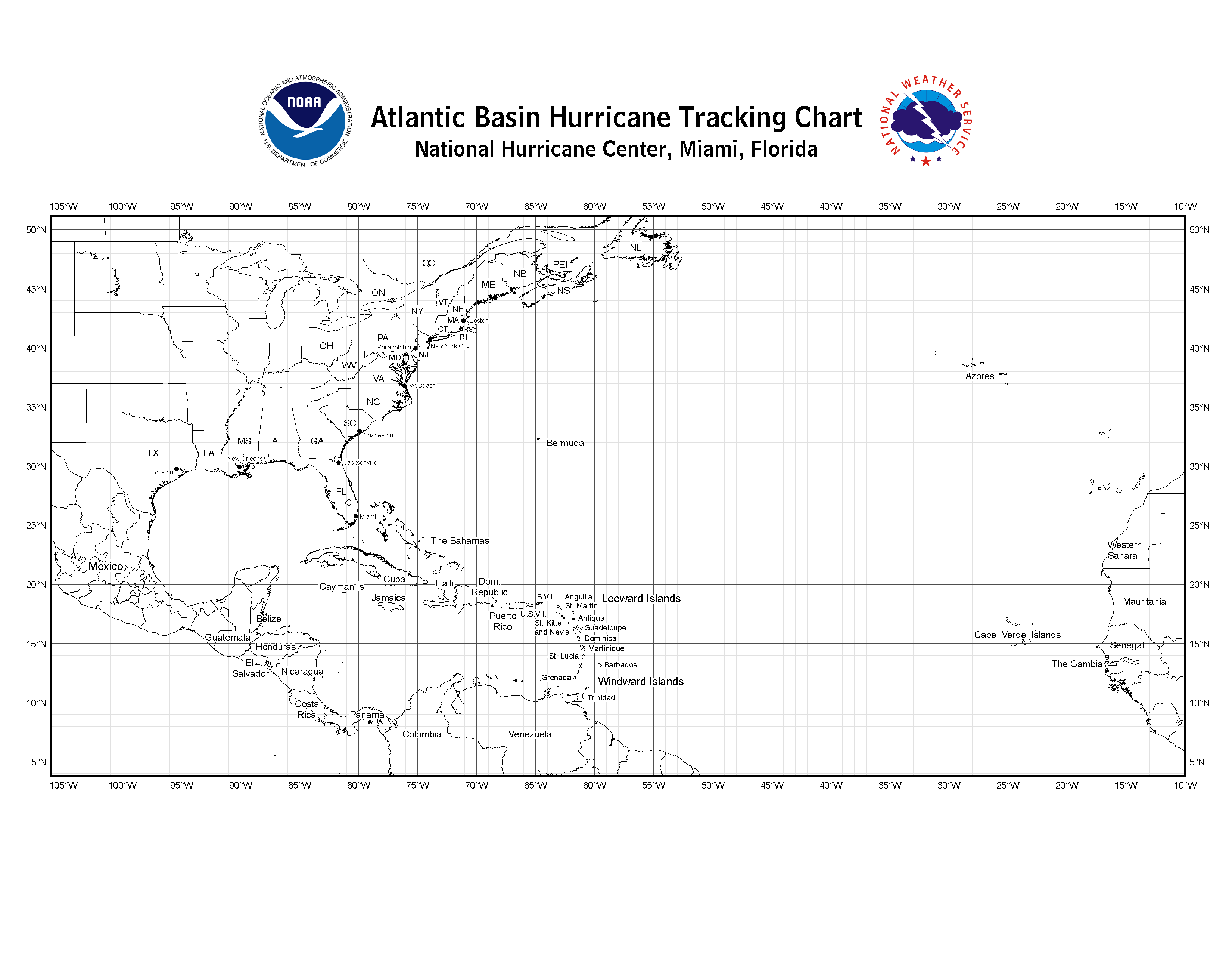
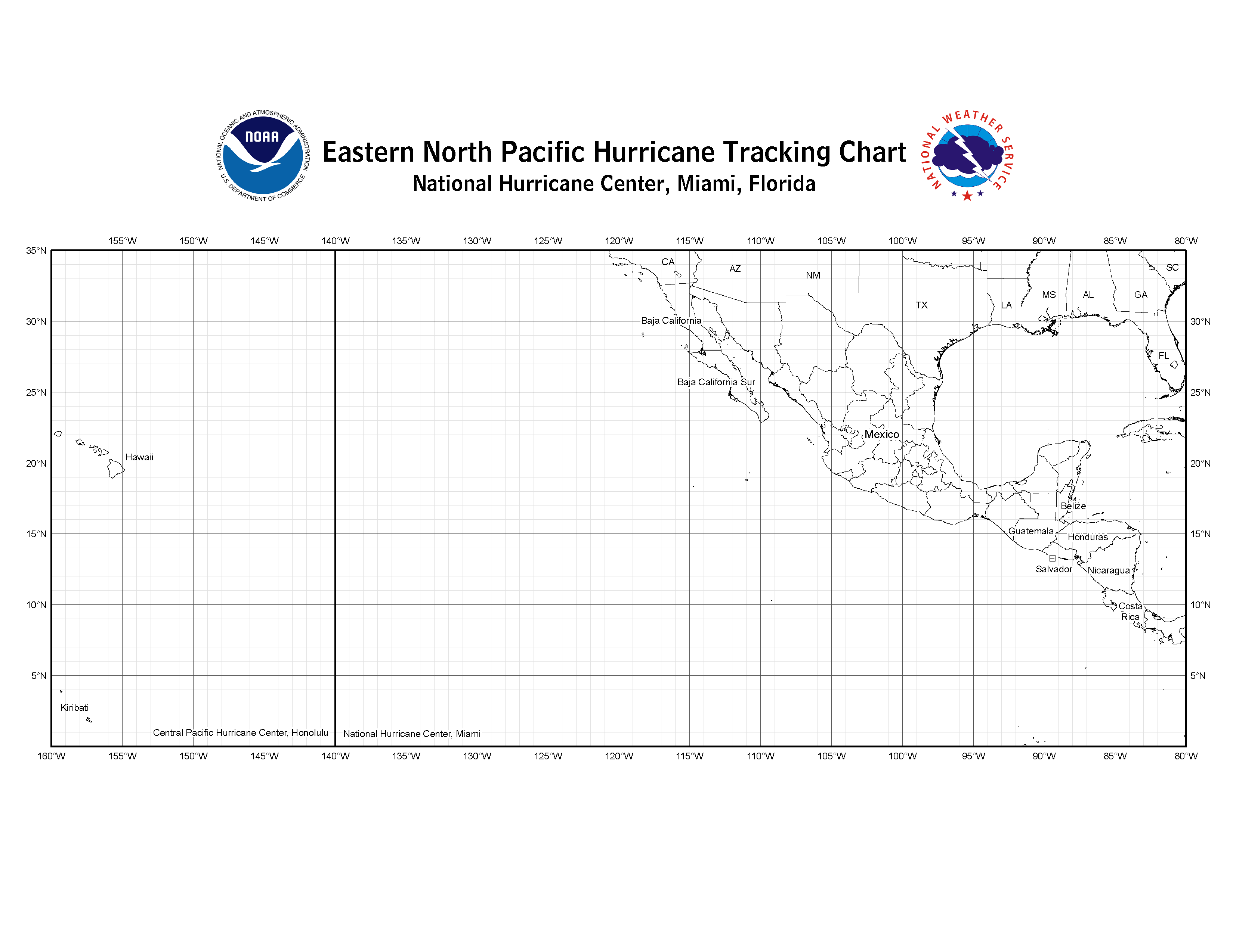
https://www.nhc.noaa.gov/tracking_charts.shtml
"Below are links to the hurricane tracking charts used at the National Hurricane Center. Print one out so you can track storms with us."
https://www.nhc.noaa.gov/pdf/tracking_chart_atlantic.pdf
https://www.nhc.noaa.gov/images/tracking_chart_atlantic.png