To: Oztrich Boy; rlmorel; Presbyterian Reporter
As promised, I've been working on georeferencing Oztrich Boy's shipping lane chart to the Izu area and the AIS data plots.
When the lane chart is georeferenced to the shoreline of the Izu Peninsula and Mikomoto Shima (Island), here's what I get:
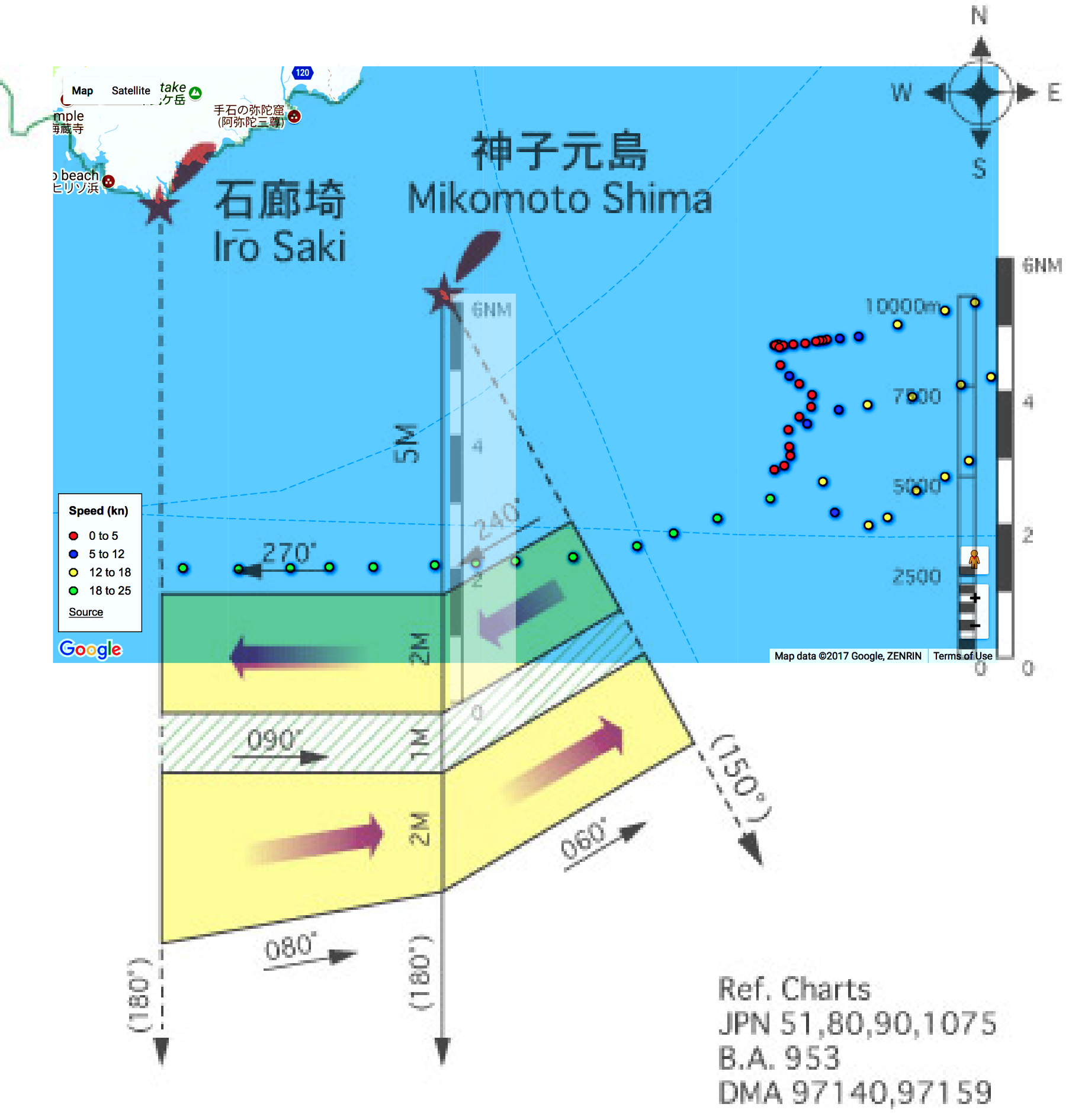
Obviously, the shipping lanes correspond neither to the AIS data nor to the shipping lanes (in darker blue) on the AIS plot.
For one thing, the shipping lane chart is not internally, dimensionally consistent: I've "ghosted in" a copy of the nautical miles scale from the chart -- against the dimension line south of Mikomoto Shima. The chart's own six (6) NM scale spans seven (7) NM on the chart!
Something ain't right !!
Just looked at the clock, and it's 5AM! I spent yesterday doing archaeology on a WWII iron ore mining and processing site -- dragging this 79-year-old carcass up & down hills and swinging a pickaxe.
I'm "tard" of futzing with this thing -- so, WYSIWYG!! Play with it as you like... I'm hitting the sack! '-)
TXnMA
219 posted on
06/27/2017 3:01:19 AM PDT by
TXnMA
("Allah": Satan's alias. "Islam": Allah's assassins. "Moderate Muslims": Islam's useful idiots.)
To: TXnMA
Metric nautical miles? j/k.
Nice work. Interesting data.
To: TXnMA; Oztrich Boy; Presbyterian Reporter
I have been operating under the assumption that both ships were steering a straight and steady course when the collision occurred and I always operated under the assumption that if any maneuvering occurred just before impact, it would have been the Fitzgerald bearing away to port just before impact (simply because I assumed they had more eyes on the ocean and would have likely been the one to see the oncoming vessel and take action)
In light of the report from the ACX Crystal, and the existing shipping lanes, do we agree it is more likely that the ACX Crystal was the one doing the maneuvering and bearing away to starboard just before impact, and the Fitzgerald may have been steaming in a straight line as the collision occurred?
(It is possible both ships steered, the Fitzgerald to port, and the ACX Crystal to starboard just before impact.)
224 posted on
06/27/2017 4:32:22 AM PDT by
rlmorel
(Liberals are in a state of constant cognitive dissonance, which explains their mental instability.)
To: TXnMA
Something isn't right
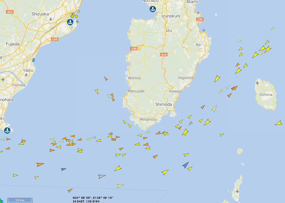
All the AIS traffic appears north of where you've placed the TSL bend
250 posted on
06/27/2017 7:58:58 PM PDT by
Oztrich Boy
(for the night is dark and full of terrorists)
FreeRepublic.com is powered by software copyright 2000-2008 John Robinson