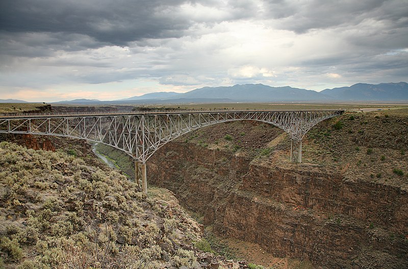
Walking out on the bridge and looking down is fun. You can feel the bridge vibrate as cars and trucks go by behind you.
Thanks. It wasn’t real descriptive. But it does give a good idea of a lot of open nothing and rugged terrain.
Walking out on the bridge and looking down is fun. You can feel the bridge vibrate as cars and trucks go by behind you.
The California, Arizona and New Mexico borders are easy enough to fence. With few exceptions (Tijuana, Mexicali, Nogales) the border is simply a line in the Sonora Desert. There's literally nothing but cactus on either side of the border. A fence doesn't block access to anything of value -- for either people or animals.
The Texas-Mexico border, however, is different. It's defined not by a desert -- it's defined by a river. And, as any geographer can tell you, rivers make bad borders -- they're subject to heavy access and use on both sides.
Commercial traffic across the river in Texas is immense. El Paso counts on Juarez. Laredo counts on Nuevo Laredo. Del Rio counts on Ciudad Acuna, Brownsville counts on Matamoros, etc. There is no way to effectively stem the traffic between the city pairs.
But the river represents a bigger problem outside the cities. For 1248 miles, the river wanders through the desert -- and usually represents the only water source within 50 miles. Much of the borderland is rugged and uninhabited. But much of it is ranch land, as well, or heavily cultivated farm land in the valley.
How do you fence off a water resource under these circumstances? On both sides of the border, ranchers (and their livestock) and farmers (and their crops) depend on access to the river.
I'm all in favor of "securing the border". But, in Texas, a fence isn't necessarily the way to do it.