
The picture below is the same view as the one above, but obviously brighter. Note the palm trees and powerline poles on the horizon and how they line up with the photo above. Also note the destinctive domed roof features on the LAX terminal buildings. Comparing the two photos, the contrail ends just above the powerline pole at the left side of the photo. 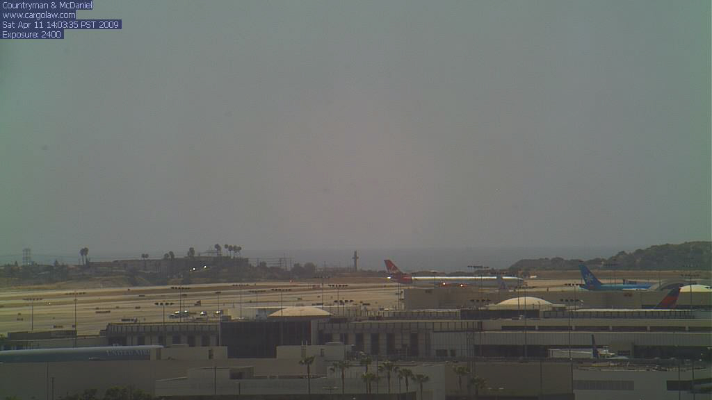
This is my first Google image and just shows the red line connecting the coordinates of UPS902 at 17:16 and the location of the LAX camera on the building housing the law firm of Countryman and McDaniel.
The Google image below shows the line connecting the camera and UPS902 and how it tracks across LAX.
This is a closer view of the red azimuth line and how it tracks by the domed roof features of the LAX terminal buildings. It tracks to the left (south) of the first dome.
Below is the key Google image. The powerline poles are difficult to see, but they are the grey structures in the green space between the housing development and the chemical plant. The red azimuth line tracks between the two powerline poles visible in the second photo, and just to the right of the powerline pole to the left side of that photo. Not directly over it, but within a few feet. Comparing all the photos and the azimuth line, it is apparent that everything lines up pretty well based on the time of the photo, the lat/long of the FlightAware track of UPS902, and an azimuth line connecting the two.