
Posted on 09/06/2010 2:36:00 AM PDT by NautiNurse
Tropical Storm Hermine has formed in the Bay of Campeche. The small system is slowly moving North at 8 mph. Widespread deep tropical moisture over the southwest Gulf of Mexico and the Bay of Campeche will combine with TS Hermine across the southwest Gulf of Mexico to increase the possibility of heavy rainfall over the lower Rio Grande Valley and deep south Texas Monday through Wednesday. Hermine is the eighth tropical storm of the 2010 season.

Satellite Images & Loops (Tropical Floater #1)
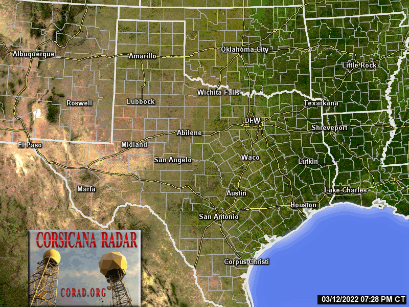
Radar:
Brownsville TX
Laughlin AF Base TX
Sustained winds 50 mph, 998mb. Moving NNW at 13 mph.

On/Off Hurricane List Mash Here--> 
FReepers are slipping. 20 posts and not one reference to Harry Potter . . .
Must be a Holiday weekend.
Thanks for your local update. Please check back in when you can.
or maybe it’s because this storm is named Hermine. The Harry Potter character is Hermione Granger.
Looks like this one has Texas in her sites. Going to be a damp start to the week.
Good news—Hermine has picked up forward speed. Should reduce risk of torrential floods.
Nice radar link.
We had a couple of showers yesterday, nothing major.
Thank you for the heads up. Hope Hermine will be a much needed rain maker.
Thank you NN...looks like you’ve been busy the last few days and it doesn’t appear to be ending any time soon. :-)
May our Lord God bless you dear one!
Our sunshine just disappeared. Very dark back to the south east (duh).
Thanks - I found it on Twitter :)
I’m wondering when all the tourists are gonna wake up and decide to go home. Probably will all hit the store and leave at the same time :)
Voluntary evacuation for RVs on South Padre Island: http://bit.ly/c7X2UV
210
FLUS44 KEWX 061609
HWOEWX
HAZARDOUS WEATHER OUTLOOK
NATIONAL WEATHER SERVICE AUSTIN/SAN ANTONIO TX
1109 AM CDT MON SEP 6 2010
TXZ171>173-183>194-202>209-217>225-228-071030-
LLANO-BURNET-WILLIAMSON-VAL VERDE-EDWARDS-REAL-KERR-BANDERA-
GILLESPIE-KENDALL-BLANCO-HAYS-TRAVIS-BASTROP-LEE-KINNEY-UVALDE-
MEDINA-BEXAR-COMAL-GUADALUPE-CALDWELL-FAYETTE-MAVERICK-ZAVALA-
FRIO-ATASCOSA-WILSON-KARNES-GONZALES-DE WITT-LAVACA-DIMMIT-
1109 AM CDT MON SEP 6 2010
THIS HAZARDOUS WEATHER OUTLOOK IS FOR SOUTH CENTRAL TEXAS.
.DAY ONE...TODAY AND TONIGHT...
TROPICAL STORM HERMINE WILL MOVE NORTH-NORTHWEST MAKING LANDFALL
ALONG THE COAST OF NORTHEASTERN MEXICO OR EXTREME SOUTHERN TEXAS
DURING THE OVERNIGHT HOURS. DEEP TROPICAL MOISTURE WILL SURGE
ACROSS SOUTH CENTRAL TEXAS TODAY INTO TONIGHT. SHOWERS AND
THUNDERSTORMS WILL INCREASE ACROSS THE REGION TODAY INTO TONIGHT.
LOCALLY HEAVY RAINS ARE POSSIBLE. A FLASH FLOOD WATCH REMAINS IN
EFFECT FROM MIDNIGHT TONIGHT THROUGH WEDNESDAY MORNING FOR ALL OF
SOUTH CENTRAL TEXAS.
.DAYS TWO THROUGH SEVEN...TUESDAY THROUGH SUNDAY...
TROPICAL STORM HERMINE AND DEEP TROPICAL MOISTURE WILL MOVE ACROSS
THE AREA TUESDAY THROUGH MIDDAY WEDNESDAY. NUMEROUS BANDS OF
SHOWERS AND THUNDERSTORMS CAN BE EXPECTED. HEAVY RAINFALL RATES OF
1 TO 3 INCHES PER HOUR WILL BE POSSIBLE. WIDESPREAD RAINS OF 2 TO
5 INCHES ARE EXPECTED...WITH HIGHER TOTALS UP TO 12 INCHES
POSSIBLE BY MIDDAY WEDNESDAY. A FLASH FLOOD WATCH REMAINS IN
EFFECT FROM MIDNIGHT TONIGHT THROUGH WEDNESDAY MORNING FOR ALL OF
SOUTH CENTRAL TEXAS. IN ADDITION...WIND GUSTS UP TO 45 MPH ARE
POSSIBLE IN THE BANDS OF SHOWERS AND THUNDERSTORMS.
.SPOTTER INFORMATION STATEMENT...
SPOTTER ACTIVATION MAY BE NEEDED ON TUESDAY INTO WEDNESDAY.
Neighbor just came back from the store and said it was packed.
Last report said if it turns it will hit tonight, if it doesn’t, it will hit tomorrow. OK...
Only one letter difference....what is the proper pronunciation of Hermine?
What a dumb name for a hurricane.
Disclaimer: Opinions posted on Free Republic are those of the individual posters and do not necessarily represent the opinion of Free Republic or its management. All materials posted herein are protected by copyright law and the exemption for fair use of copyrighted works.