Posted on 12/03/2009 5:40:17 PM PST by george76
The map, which demonstrates the devastating effects of global warming in just a century, shows how San Francisco Airport would be completely underwater if sea levels were to rise by ...60in.
The coastline on the map was also coloured, highlighting how nearly half a million Californians are at risk from rising sea levels.
The map, named CalAdapt, which was revealed at a press conference on Treasure Island in San Francisco Bay by Mr Schwarzenegger and Google CEO Eric Schmidt, was created as part of a plan for the state to adapt to global warming.
'Within a century, Treasure Island, this place where we are right now, could be totally under water,'
(Excerpt) Read more at dailymail.co.uk ...
With SF as well? Throw in Oakland & Berkley, and I will buy another gas guzzler to help speed the way!!!
San Francisco will never flood. It has plenty of dykes.
Conditioning the Californians to accept cap-and-tax globull warmism.
Source? Credible source?
That is one.
Great.
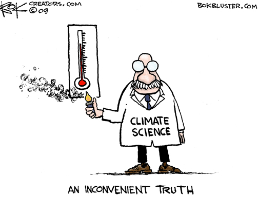
Cartoon!
“The map, which demonstrates the devastating effects of global warming in just a century, shows how San Francisco Airport would be completely underwater if sea levels were to rise by ...60in.”
And, just as likely - if a meteor comes down, strikes Arnold in the head, and splatters his brains out ... huh, would anyone notice?
I’d be willing to drive a few extra miles and maybe barbecue twice a week if it would help spur things along
Source? Credible source?
Start with Greenland (10% of the world's ice): 800k square miles, 1 mile thick ice, so 800k cubic miles of ice. Ice takes up 9% more volume than the unfrozen water so Greenland's ice would melt into 735k sq miles of water. Earth's oceans cover 140 million square miles. Divide the 735k by 140m and you get 0.00525 miles of water thickness or 28 feet of sea level rise.
The good news is we don't have to think about Antarctica because it is not going to melt in any scenario. The other good news is Greenland's glaciers have slowed since 2005 back to their original speeds measured before the 80's. In theory the steady or cooling temperatures of the last few years have slowed the already very slow melting of Greenland.
Didn’t someone calculate that almost all of Greenland’s water could be dumped into a below-sea-level basin in northern Africa or somewhere?
That was wrong too, although the plausible Greenland melt could be dumped if needed.
Disclaimer: Opinions posted on Free Republic are those of the individual posters and do not necessarily represent the opinion of Free Republic or its management. All materials posted herein are protected by copyright law and the exemption for fair use of copyrighted works.