Posted on 05/19/2025 8:29:56 PM PDT by bitt
P
P
Ping
Thank you for posting. If there’s a ping list please add me as we have relatives in Branson.
...TORNADO WARNING REMAINS IN EFFECT UNTIL 115 AM CDT FOR MONROE, NORTHWESTERN RANDOLPH AND SAINT CLAIR COUNTIES IN SOUTHWESTERN ILLINOIS...
At 1224 AM CDT, severe thunderstorms capable of producing a tornado were located along a line from near Waterloo to 7 miles north of Ste. Genevieve, moving northeast at 50 mph. HAZARD...Tornado. SOURCE...Radar indicated rotation. IMPACT...Flying debris will be dangerous to those caught without shelter. Mobile homes will be damaged or destroyed. Damage to roofs, windows and vehicles will occur. Tree damage is likely. Locations impacted include... Belleville, O'Fallon, East St. Louis, Collinsville, Fairview Heights, Swansea, Shiloh, Waterloo, Columbia, Mascoutah, Lebanon, Ste. Genevieve, Freeburg, Caseyville, Millstadt, Red Bud, New Baden, Scott AFB, Smithton and New Athens. This includes Interstate 64 in Illinois between exits 12 and 27. PRECAUTIONARY/PREPAREDNESS ACTIONS... Move to an interior room on the lowest floor of a well-built building away from windows. If you are outdoors, in a mobile home, or in a vehicle, move to the closest substantial shelter and protect yourself from flying debris. Tornadoes are difficult to observe at night. Take cover now! && TORNADO...RADAR INDICATED; MAX HAIL SIZE...0.00 IN
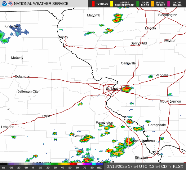
Issued by St. Louis - MO, US, National Weather Service
Disclaimer: Opinions posted on Free Republic are those of the individual posters and do not necessarily represent the opinion of Free Republic or its management. All materials posted herein are protected by copyright law and the exemption for fair use of copyrighted works.