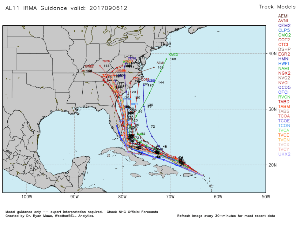
That is a conservative track.
This morning they were showing it right up the center of FL BUT about 70% of the various predictions were in the Atlantic.
Networks and Weather Channel were saying this morning that they were moving the 'cone' slowly so as not to jerk it around but fully expected it to keep moving to the east as the high pressure system weakens.
If you look at the various predicted tracks now you will see here:

So far that is playing out. Next 24 hours should give us a much better idea.
"It’s possible that next week you will be seeing aerial photos/videos of perhaps 100 miles of inundated shoreline. I’m not saying that will happen, only that it is possible."
It's possible and everyone should be prepared.