A few supercells on the radar, blog chatter in wunderground predicts they will get worse when they hit the juicier air to the east.
It’s been creeping your way.
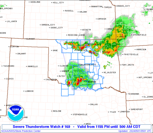
Storm getting stronger in Kansas:
..A TORNADO WARNING REMAINS IN EFFECT FOR NORTHWESTERN BARBER AND
SOUTH CENTRAL PRATT COUNTIES UNTIL 445 PM CDT...
AT 425 PM CDT...NATIONAL WEATHER SERVICE DOPPLER RADAR INDICATED VERY
STRONG ROTATION ASSOCIATED WITH A POSSIBLE TORNADO 2 MILES NORTH OF
LAKE CITY. THIS DANGEROUS STORM WAS MOVING NORTHEAST AT 45 MPH. LARGE
DESTRUCTIVE HAIL UP TO BASEBALL SIZE IS ALSO EXPECTED WITH THIS
STORM.
LOCATIONS IMPACTED INCLUDE...
LAKE CITY...
SAWYER...
MAINLY RURAL AREAS OF NORTHWESTERN BARBER AND SOUTHERN PRATT
COUNTIES.
THE ROTATION HAS INTENSIFIED SIGNIFICANTLY WITH THIS STORM, AND A
TORNADO IS LIKELY ABOUT 10 MILES SOUTHWEST OF SAWYER.
PRECAUTIONARY/PREPAREDNESS ACTIONS...
TAKE COVER NOW. MOVE TO AN INTERIOR ROOM ON THE LOWEST FLOOR OF A
STURDY BUILDING. AVOID WINDOWS. IF IN A MOBILE HOME...A VEHICLE OR
OUTDOORS...MOVE TO THE CLOSEST SUBSTANTIAL SHELTER AND PROTECT
YOURSELF FROM FLYING DEBRIS.
&&
LAT...LON 3729 9900 3765 9882 3752 9850 3719 9900
TIME...MOT...LOC 2130Z 236DEG 59KT 3742 9873
HAIL 2.75IN
A few supercells on the radar, blog chatter in wunderground predicts they will get worse when they hit the juicier air to the east.