
With sleuthing and satellite images captured by Google Earth, a dozen or so citizen snoops are filling in the blanks on secretive North Korea's map.
A very interesting article with images at link.
Posted on 05/22/2009 7:51:50 AM PDT by GOP_Lady
With Sleuthing and Satellite Images, Mr. Melvin Fills the Blanks on a Secretive Nation's Map
SEOUL -- In the propaganda blitz that followed North Korea's missile launch last month, the country's state media released photos of leader Kim Jong Il visiting a hydroelectric dam and power station.
Images from the report showed two large pipes descending a hillside. That was enough to allow Curtis Melvin, a doctoral candidate at George Mason University in suburban Virginia, to pinpoint the installation on his online map of North Korea.
(Excerpt) Read more at online.wsj.com ...
With sleuthing and satellite images captured by Google Earth, a dozen or so citizen snoops are filling in the blanks on secretive North Korea's map.
A very interesting article with images at link.
Isn’t this the gentleman that North Korea’s trying to arrest on espionage charges?
bttt
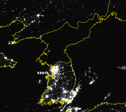
If there is a Red X go to http://doctorbulldog.files.wordpress.com/2006/10/northkorea-at-night.jpg
Disclaimer: Opinions posted on Free Republic are those of the individual posters and do not necessarily represent the opinion of Free Republic or its management. All materials posted herein are protected by copyright law and the exemption for fair use of copyrighted works.