Posted on 07/20/2005 3:43:37 AM PDT by bd476
WTUS84 KBRO 200859 AAA HLSBRO TXZ248>257-201200-
Hurricane local statement...updated to extend Tornado Watch National Weather Service Brownsville TX 400 AM CDT Wed July 20 2005
...Eye of major Hurricane Emily nearing the coast of NorthEastern Mexico... ...A hurricane warning is in effect for the lower Texas coast from Port Mansfield to Brownsville... ...A tropical storm warning is in effect for the Texas Gulf Coast from Baffin Bay to Port Mansfield... ...Inland tropical storm warning is in effect for Brooks...Hidalgo and Star counties in deep South Texas... ...A Tornado Watch is in effect for all deep South Texas through 10 AM CDT this morning... ...A flood watch is in effect across deep South Texas through 1 PM Today...
...Areas Affected... This statement recommends actions to be taken by residents across Deep South Texas and the lower Texas coastline which includes the Following counties: Septa...Star...Jim Hogg...Brooks...Hidalgo... Cameron...Willacy and Kenedy.
...Watches/Warnings... At 4 AM CDT...A Tornado Watch is in effect through 10 AM for all of deep South Texas. A flood watch is in effect through 1 PM CDT for all of deep South Texas. Recreational vehicles were ordered to evacuate from Cameron County Beach areas yesterday...but no other evacuations have been declared for Cameron...Willacy...and Kenedy Counties. This includes the city of South Padre Island...Port Isabel...and Port Mansfield.
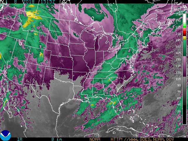
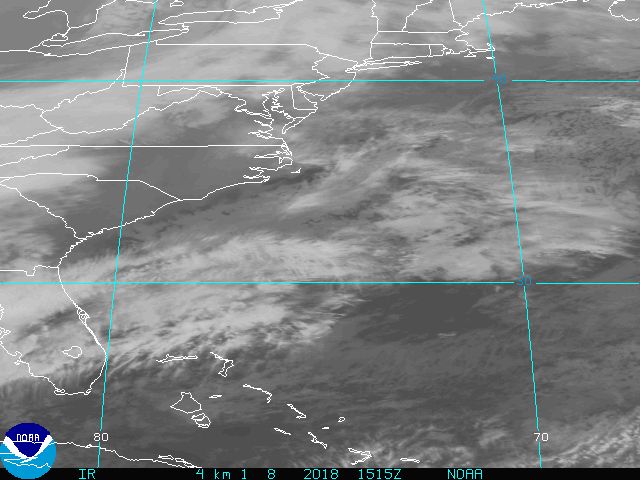
...Storm Information... At 4 AM CDT...the center of Hurricane Emily was located near Latitude 24.7 North...Longitude 97.2 West or about 80 miles... South SouthEast of MatAMoros Mexico and about 85 miles... South SouthEast of Brownsville Texas. The minimum central pressure was 943 Millibars.
Emily is moving toward the West-NorthWest near 8 mph. A turn toward the West is expected today. Given this track...Emily is expected to make landfall near San Fernando during the next few hours.
...Precautionary/Preparedness Actions... Residents should continue to follow the advice of local emergency management and other government officials.
...Storm Surge Flood and Storm Tide Impacts... Tides are predicted to run 1.7 feet above mean lower low water at 616 AM CDT this morning. Given the current track of Emily...storm surge is expected to be 7 to 10 feet along the lower Texas coast. The combination of high tide...storm surge...and very rough surf will produce coastal flooding along South and East facing shores of South Padre island today. Water will pile up in the bay of Laguna Madre and flood adjacent inlets and local coastal roads.
...Wind Impacts... At 4 AM CDT...maximum sustained winds with hurricane Emily are near 125 mph. Some additional strengthening is possible and Emily could become a category four hurricane before landfall. Sustained sinds near tropical storm force are possible along the lower Texas coastal areas with wind gusts to hurricane force possible South of Port Mansfield early this morning.
...Other Impacts... The risk of rip currents is high as Emily continues to churn the West Gulf waters. Seas of 20 to 30 feet are expected in the Southern coastal waters of deep South Texas with extremely rough surf along the beaches of South padre island. Rainfall amounts of 2 to 4 inches are expected over deep South Texas with hurricane Emily. Isolated amounts of 5 to 7 inches are possible. All residents should be aware of the danger posed by flooding rains. Never drive into water of unknown depth. Remember...turn around don't drown.
...Next Update... The next hurricane local statement will be issued around 7 AM CDT.
$$
Brownsville Texas weather today.
There's been a power outage and they are announcing open shelters.
If I ever want a live tv stream from somewhere I'm pinging you. 8^}
ping
Disclaimer: Opinions posted on Free Republic are those of the individual posters and do not necessarily represent the opinion of Free Republic or its management. All materials posted herein are protected by copyright law and the exemption for fair use of copyrighted works.