
Posted on 09/12/2018 5:55:13 AM PDT by fruser1
When you watch the news about these storms, they always hype it up such that you'd think everyone in the hemisphere has five minutes to live.
I don't want to minimize the severity of the storm, but I like to have a better perspective on how bad it actually is.
To accomplish this, I avoid the news and use the snapchat app. After opening the app, you can "squeeze" the screen by putting two fingers near opposing edges of the screen and pull them together to make a map appear. (Sometimes I get a search screen instead, so I close this and try again.)
You can move the map around, zoom in and out, and see where vids are posted. They are short clips and stay up about 24 hrs. The vids indicate how old they are (minutes or hours).
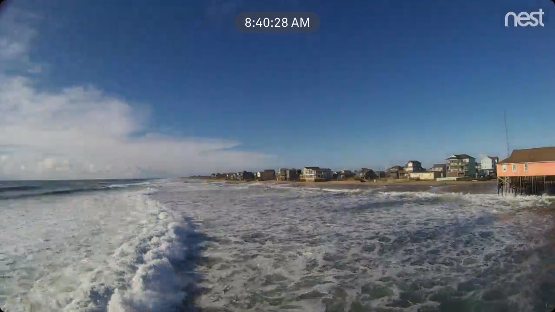
Unless everyone evacuates, there are usually folks posting stuff showing wind, flooding, damage, eyewall, etc.. I found this incredibly useful and more realistically informative compared to the news and would update relatives in the area about what was going on via text (they were typically conserving battery power during blackout and not all had iPhones).
Being familiar with the region, I could give them street level intel about where the main problems were.
So, for example, I could tell them what neighborhoods actually had flooded streets. Watching the news, you'd think the whole region was under water.
There seem to be enough folks willing to post to make this a worthwhile endeavor. You know the conditions are their severest when the region "goes dark" for 24 hrs...
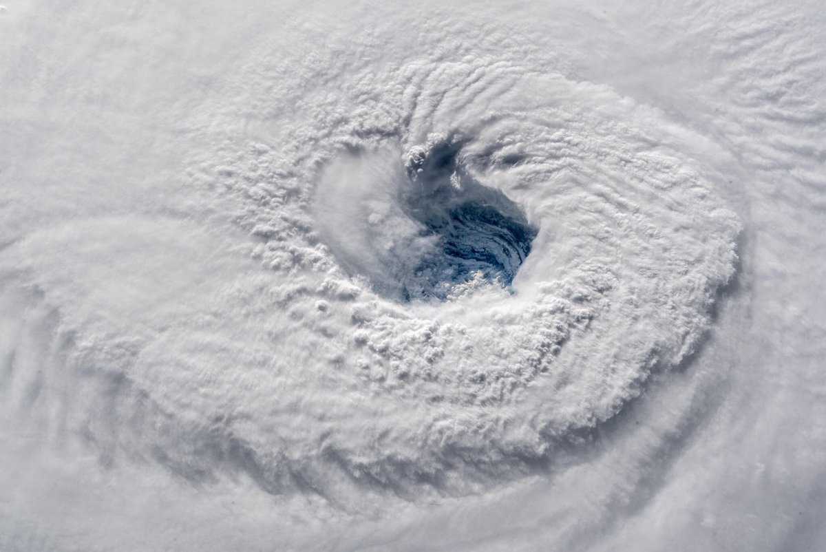
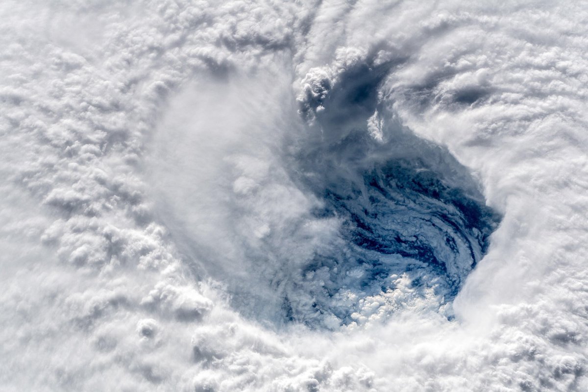
You can see the cirrus outflow from Florence in the distance.
bookmark
Disclaimer: Opinions posted on Free Republic are those of the individual posters and do not necessarily represent the opinion of Free Republic or its management. All materials posted herein are protected by copyright law and the exemption for fair use of copyrighted works.