 That could be right, but in close-up they do not look like linear sand dunes:
Posted on 01/03/2015 4:10:32 PM PST by Fred Nerks
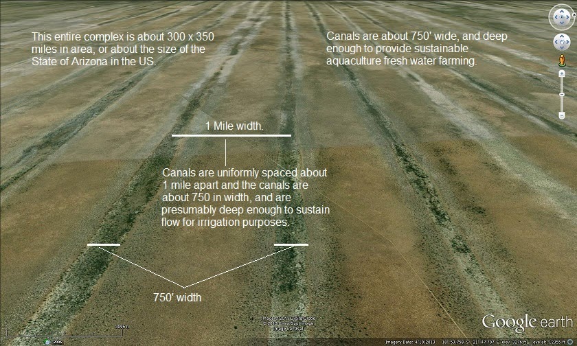
The circles are very new and relates to the area being used to set up land speed records, or testing fast cars. This was posted by Tony Lockhart on July 14, 2012 3:04, on the website PMhttp://forums.naimaudio.com/topic/strange-patterns-in-south-africa-on-google-earth?reply=17476120013605872 "I know this area quite well although I have never been to the verneukpan. These patterns are new, I have an aerial photo from 2009 that shows only the triangle shape. The spirals are about 60 metres across, the smaller ones about 20m. Also apart from the triangle, there are some older looking straight line marks all over. The yellow line thru the triangle shape is the only "road" that traverses the pan, so I would guess that this is some form of grading or preparation work for making a hard standing, maybe for the record attempt base camp." Reply NewsKnowledgeJuly 16, 2013 at 3:04 AMAccording to friend of the farmer: If you look at Google Earth pictures of 2006 and prior, you will notice that there are no ditches present, only a few dams. The farmer that owns the land on which the spirals that you see is situated, took a tractor and used a plough to make deep spiralshape ditches with the intention of catching the water run-off. These ditches work very well and had a significant effect of improvement on the grazing on that farm. I wonder why, and does this work catching the water run-off? I mean running water would just flatten it all out again?
That could be right, but in close-up they do not look like linear sand dunes:

The farmer and his tractor immediately reminded me of the two old men who supposedly made the crop circles in England with a stick and a long piece of string. Thousands of them.
If you are interested, may I suggest you follow the patterns on Google Earth, and when you have covered enough territory way beyond that one salt pan, and you find that the patterns change shape and go on forever...you’ll forget all about the farmer and his tractor.
If you are interested, may I suggest you follow the patterns on Google Earth, and when you have covered enough territory way beyond that one salt pan, and you find that the patterns change shape and go on forever...you’ll forget all about the farmer and his tractor.
...
Has this been studied by scientists or just bloggers?

Bfl
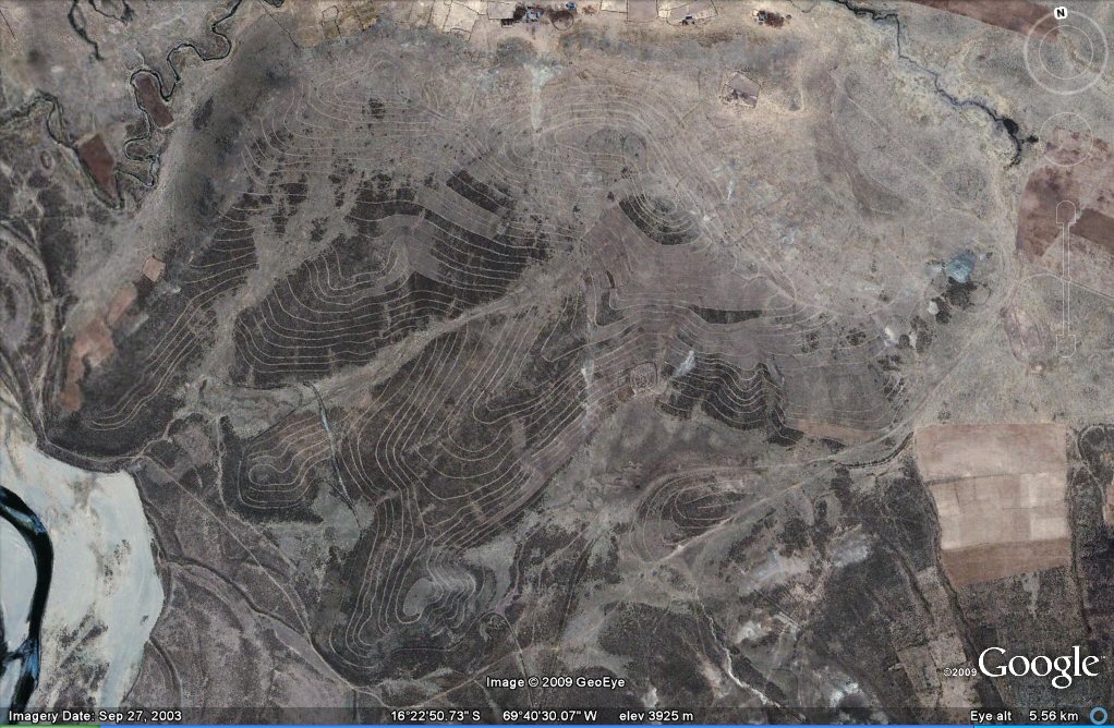
A lot of this 'stuff' is the result of people using Google Earth. There aren't enough scientists with enough funds to follow all of it, not if it can't be attributed to global-warming. How about the contour irrigation images from South America? You can find them yourself:
http://earthobservatory.nasa.gov/IOTD/view.php?id=51190
Search for “linear dunes”. Nothing exciting.
Your link provides the answer. The features are natural linear sand dunes some tens of thousands of years old:
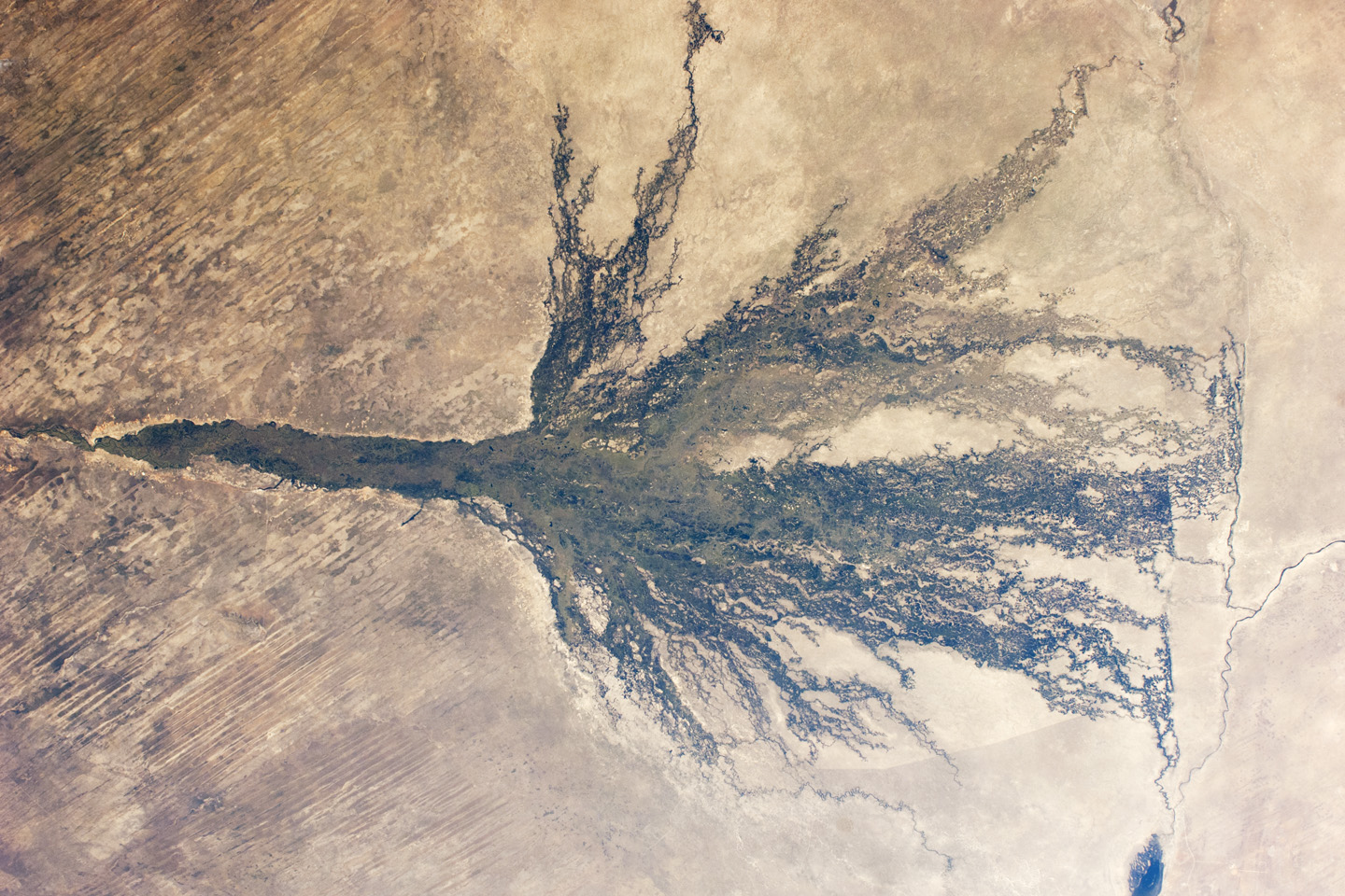
In far northeastern Namibia, there is a skinny stretch of land sandwiched between Angola, Botswana, and Zambia. The Caprivi Strip receives more than 600 millimeters (24 inches) of mean annual rainfall and experiences periodic floods, making it almost moist compared to the much drier parts of the country.
On February 1, 2012, the Advanced Land Imager (ALI) on NASA’s Earth Observing-1 (EO-1) satellite captured this natural-color image of the Caprivi Strip just north of the Okavango River (visible in the large image). Here the land is striped, as if a giant had dragged a rake over the landscape. Those stripes are linear dunes, and some are more than 100 kilometers (60 miles) long. Their presence suggests much drier conditions in the past.
Dunes generally form from wind-blown sand over many years. One characteristic of linear dunes is that they tend to remain intact long after the dry conditions cease. And because they don’t migrate like marching dunes, linear dunes preserve dirt and rocks that geologists can later use to understand past conditions.
A study published in 2000 sampled dunes throughout the Caprivi region and found that they likely formed under arid conditions between roughly 60,000 and 20,000 years ago. A study in 2003 concluded that dune construction may have been especially pronounced between 36,000 and 28,000 years ago. After the dunes formed, conditions in the Caprivi Strip moistened enough for the dunes to support vegetation—woodlands on the dune ridges, and grasses and shrubs in the valleys between.
Although studies indicate that conditions in this region were drier when the dunes formed, the dune-building periods seem to have been punctuated by humid periods, as indicated by sediments found in nearby caves and ancient lake sediments. About 16,000 years ago, a humid period prompted the filling of Etosha Pan. Now a saltpan, Etosha withered partly due to drying climate, but also because of changes in river routes.
References
Eitel, B., Blümel, W.D., Hüser, K. (2004) Palaeoenvironmental transitions between 22 ka and 8 ka in monsoonally influenced Namibia. Paleoecology of Quaternary Drylands, 102, 167–194.
Thomas, D.S.G., O’Connor, P.W., Bateman, M.D., Shaw, P.A., Stokes, S., Nash, D.J. (2000) Dune activity as a record of late Quaternary aridity in the Northern Kalahari: new evidence from northern Namibia interpreted in the context of regional arid and humid chronologies. Palaeogeography, Palaeoclimatology, Palaeoecology, 156(3–4), 243–259.
Thomas, D.S.G., Brook, G., Shaw, P., Bateman, M., Haberyan, K., Appleton, C., Nash, D., McLaren, S., Davies, F. (2003) Late Pleistocene wetting and drying in the NW Kalahari: an integrated study from the Tsodilo Hills, Botswana. Quaternary International, 104(1), 53–67.
Warren, A. Etosha: From Sand to Sea. PBS: The Living Edens. Accessed April 5, 2012.
NASA Earth Observatory image created by Robert Simmon and Jesse Allen, using Advanced Land Imager data from the NASA EO-1 team. Caption by Michon Scott.
Instrument(s): EO-1 - ALI
http://earthobservatory.nasa.gov/IOTD/view.php?id=77605
Wouldn’t the flood have destroyed these canals as well? I can’t seem to find the date for them.
Thanks for the info. You can clearly see the remnant of the pan on Google Earth.
Obviously, we're talking about a different climate than prevails today. I wonder what the dating actually is...
Don’t see how the technology existed to make that many parallel lines that perfectly straight for that long of a distance.
It all began with “If you build it, they (H20 molecules) will come.”
In far northeastern Namibia, there is a skinny stretch of land sandwiched between Angola, Botswana, and Zambia. The Caprivi Strip receives more than 600 millimeters (24 inches) of mean annual rainfall and experiences periodic floods, making it almost moist compared to the much drier parts of the country.
On February 1, 2012, the Advanced Land Imager (ALI) on NASA’s Earth Observing-1 (EO-1) satellite captured this natural-color image of the Caprivi Strip just north of the Okavango River (visible in the large image). Here the land is striped, as if a giant had dragged a rake over the landscape. Those stripes are linear dunes, and some are more than 100 kilometers (60 miles) long. Their presence suggests much drier conditions in the past.
Dunes generally form from wind-blown sand over many years. One characteristic of linear dunes is that they tend to remain intact long after the dry conditions cease. And because they don’t migrate like marching dunes, linear dunes preserve dirt and rocks that geologists can later use to understand past conditions.
A study published in 2000 sampled dunes throughout the Caprivi region and found that they likely formed under arid conditions between roughly 60,000 and 20,000 years ago. A study in 2003 concluded that dune construction may have been especially pronounced between 36,000 and 28,000 years ago. After the dunes formed, conditions in the Caprivi Strip moistened enough for the dunes to support vegetation—woodlands on the dune ridges, and grasses and shrubs in the valleys between.
Although studies indicate that conditions in this region were drier when the dunes formed, the dune-building periods seem to have been punctuated by humid periods, as indicated by sediments found in nearby caves and ancient lake sediments. About 16,000 years ago, a humid period prompted the filling of Etosha Pan. Now a saltpan, Etosha withered partly due to drying climate, but also because of changes in river routes.
References
Eitel, B., Blümel, W.D., Hüser, K. (2004) Palaeoenvironmental transitions between 22 ka and 8 ka in monsoonally influenced Namibia. Paleoecology of Quaternary Drylands, 102, 167–194.
Thomas, D.S.G., O’Connor, P.W., Bateman, M.D., Shaw, P.A., Stokes, S., Nash, D.J. (2000) Dune activity as a record of late Quaternary aridity in the Northern Kalahari: new evidence from northern Namibia interpreted in the context of regional arid and humid chronologies. Palaeogeography, Palaeoclimatology, Palaeoecology, 156(3–4), 243–259.
Thomas, D.S.G., Brook, G., Shaw, P., Bateman, M., Haberyan, K., Appleton, C., Nash, D., McLaren, S., Davies, F. (2003) Late Pleistocene wetting and drying in the NW Kalahari: an integrated study from the Tsodilo Hills, Botswana. Quaternary International, 104(1), 53–67.
Warren, A. Etosha: From Sand to Sea. PBS: The Living Edens. Accessed April 5, 2012.
NASA Earth Observatory image created by Robert Simmon and Jesse Allen, using Advanced Land Imager data from the NASA EO-1 team. Caption by Michon Scott.
Instrument(s): EO-1 - ALI
http://earthobservatory.nasa.gov/IOTD/view.php?id=77605
That might just be the answer...
It's just one person's interpretation. It looks like the close-up image might have been selected to show a region that accentuated the parallel lines/dunes.
Having spent a bit of time going over the area I’m not convinced they are in any way a man made feature. They look more like a combination of structural trends, and/or dune (aeolian or shallow water) features modified and enhanced by overland flow during heavy rainfalls.
That’s my geological $0.02 worth
Disclaimer: Opinions posted on Free Republic are those of the individual posters and do not necessarily represent the opinion of Free Republic or its management. All materials posted herein are protected by copyright law and the exemption for fair use of copyrighted works.