
Posted on 09/12/2018 1:53:29 PM PDT by NautiNurse
The National Hurricane Center has been issuing advisories for Hurricane Florence since August 30. The five day "Cone of Uncertainty" archive progression since Aug. 30 may be found here. As the super-size storm named Florence approached the U.S. Atlantic Coast, stories abound of people who are refusing to evacuate barrier islands.
The 82nd Airborne has relocated all of its assets, while FEMA is using Fort Bragg as a major staging area for post-storm supplies, including meals, water and cots. Fort Jackson (Columbia SC) has cancelled events including basic training graduation to prepare for military and civilian evacuees from coastal locations.
While hurricane preparations are rushed to completion, some stores are closing for lack of hurricane supplies inventory. Smart phone app Gas Buddy provides updates for gasoline availability along evacuation routes.
Wave heights to 83 ft. were recorded while Hurricane Florence churned 435 miles from Wilmington, NC. Storm surge is predicted to reach 6-13 ft along the coastline to the N of landfall. Steering currents are forecast to collapse at or near landfall, resulting in Florence meandering for days. This is expected to result in up to 40 inches of rainfall in isolated areas in the Carolinas, and up to a foot of rain in the Appalachian Mountains.
Tropical Storm Isaac: The government of France has issued Tropical Storm Warnings and Watches for the Lesser Antilles.
Invest 95L: The National Hurricane Center predicts 70% chance of development in the Gulf of Mexico. Limited forecast models, satellite graphics and GOM buoy info are available for Invest 95L below.
Mash the graphics below to enlarge. All links and images are self-updating.

Local Weather: |

You think there are any guests riding out Florence? LOL
it took in a gulp of dry air but seems to be mixing it out..middle ring now complete not working on full inner ring and eyewall
Slowly its becoming better defined over the gulf stream
also no way this is still moving NW at 10mph like the NHC says
more like WNW 6 or 7
Euro sticking to its guns and stalls in and moves it SW just off shore with landfall on SE SC in about 60(now 54) hours
the whole coast will take a beating if that pans out
Very interesting info—thanks!
<img src="https://pbs.twimg.com/media/Dm_YzgNWsAAHa4k.jpg" width="600"</">
Should have not put in the quotation...sorry...
Should have not put in the quotation...sorry...
Local news channel just interviewed a resident in Carteret County (Morehead City / Beaufort / Atlantic Beach area) He said he has already lost power.
Looks like 90%, for half a mile inland.
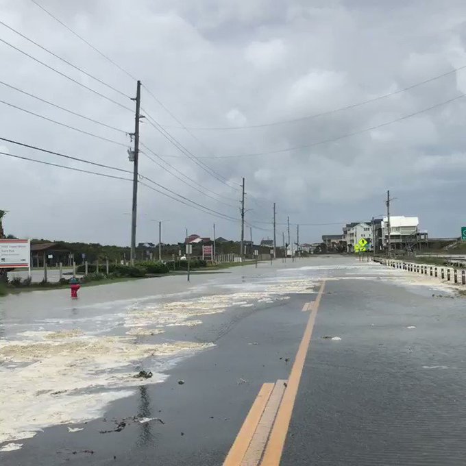
Topsail island seems to always have problems early.

“I love it when you can fish right off the front porch.”
Butter the skillet, hold out window, waves will toss ‘em right in.

https://coastal.er.usgs.gov/hurricanes/research/twlviewer/
THAT is a cool site.
Shows potential inundation for barrier island/coastal areas along with timing/etc.
Where is that from?
Very interesting video from the weather channel about the dangers of storm surge.....really incredibly done!
https://mobile.twitter.com/weatherchannel/status/1040241566382739458
Even the houses that survived had wash through up to the 3rd floor in some cases (counting for wave action).
Unsurvivable for occupants in most cases regardless of whether the home survived.
I have it 9.3 mph at 289 for the last 4.6 hours, however....
MINUS 2.0 mph on that course for the last 30 mins.
Eye increasing in diameter accounts for some of it.
0.4 mph at 289 for the last hour.
Disclaimer: Opinions posted on Free Republic are those of the individual posters and do not necessarily represent the opinion of Free Republic or its management. All materials posted herein are protected by copyright law and the exemption for fair use of copyrighted works.


