
Posted on 10/09/2018 4:49:06 PM PDT by NautiNurse
Major Hurricane Michael is churning toward the northeastern Gulf of Mexico coast. Florida Governor Rick Scott declared a state of emergency Monday for 35 counties with mandatory coastal evacuations in the FL Panhandle. 1,250 National Guard troops are aiding the process and more than 4,000 more placed on standby.
FEMA is already on the ground in Florida; other federal agencies are also preparing to assist people in the storm's path.
Alabama Gov. Kay Ivey on Monday declared a state of emergency for the entire state. Georgia Governor Nathan Deal issued a state of emergency for 92 counties ahead of Hurricane Michael landfall.
Meanwhile, Tallahassee city government (Andrew Gillum, Mayor & D'Rat FL Gubernatorial candidate) offices are "closed until further notice." Tallahassee International Airport is suspending commercial flight activity as 12:01 a.m. ET on Wednesday but expects to resume activity on Thursday.
The U.S. military moved its aircraft from the Panhandle on Monday. Roughly 50 F-22 stealth fighter jets — valued around $150 million each — have been relocated from the Tyndall Air Force Base, while the U.S. Navy said it is moving all its training aircraft from Pensacola.
Energy Production The Bureau of Safety and Environmental Enforcement (BSEE) on Tuesday estimated that around 726 MMcf/d (28.4%) of natural gas production and 670,831 b/d (39.5%) of oil production in the GOM had been shut in ahead of the storm.
As of midday Tuesday, 75 platforms and three rigs had been evacuated, while eight dynamically positioned rigs had been moved out of the storm’s path as a precaution, according to BSEE.

Gulf of Mexico Satellite Channels

Public Advisories
NHC Discussions

NHC Local Weather Statements/Radar Key West FL
NHC Local Weather Statements/Radar New Orleans, LA
NHC Local Weather Statements/Radar Mobile AL/Pensacola FL
NHC Local Weather Statements/Radar Panama City, FL
NHC Local Weather Statements/Radar Tallahassee, FL
NHC Local Weather Statements/Radar Tampa Bay, FL
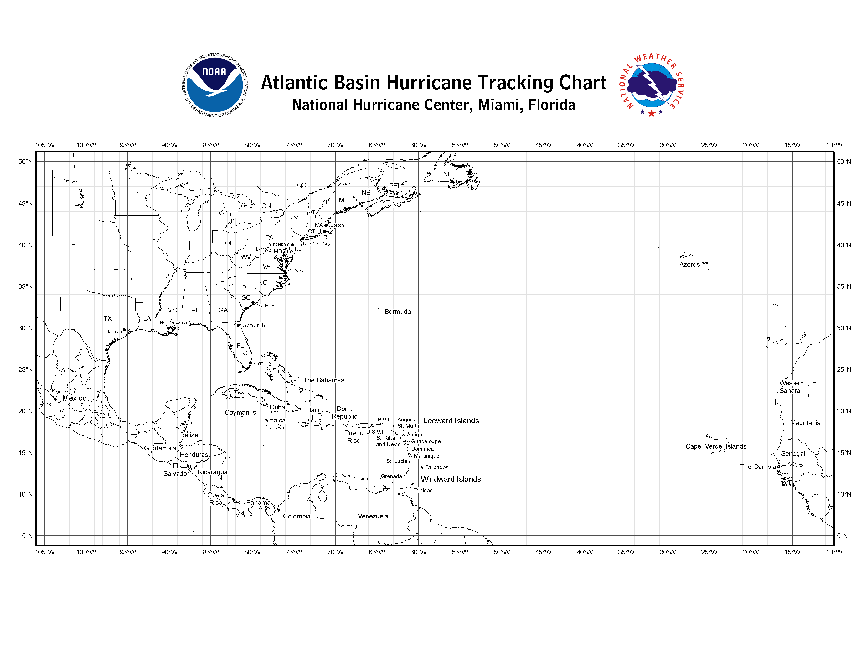
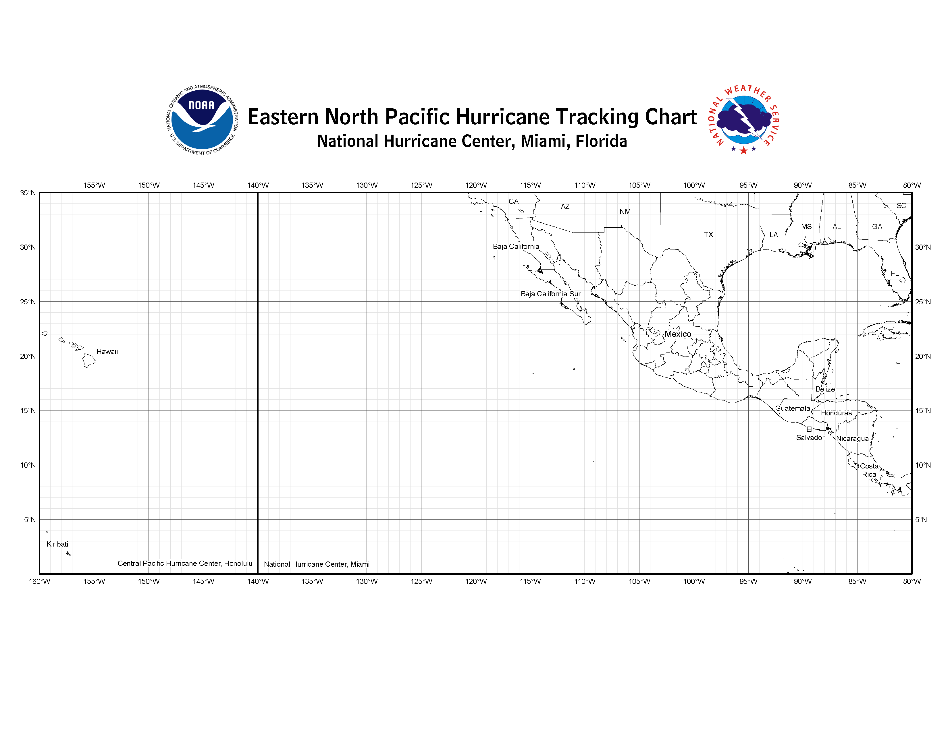
https://www.nhc.noaa.gov/tracking_charts.shtml
"Below are links to the hurricane tracking charts used at the National Hurricane Center. Print one out so you can track storms with us."
https://www.nhc.noaa.gov/pdf/tracking_chart_atlantic.pdf
https://www.nhc.noaa.gov/images/tracking_chart_atlantic.png
Praying tonight for all in harm’s way.
I hate hurricanes.
One small coastal county has a mandatory evacuation of the entire county.
Ah, yes. The other incentive to evacuate—loss of utilities before the storm.
One benefit of the hurricane last year is that they installed stronger light and power poles along the barrier island roadways. Hopefully they will hold up better. It was a wreck last year.
Last year storm season was pretty awful.
Storm center is due west of Tampa Bay now. Expecting some squalls. The backlash surge is more worrisome as the storm progresses northward.
I have driven along the Gulf of Mexico on two occasions. Once was after Hurricane Camile, I think in 1969, and once was a year after Hurricane Katrina. I have photos I took on the first trip of a cemetery that was at least 10 feet above water level where the stones and mauseleums (sp.) had been ripped and thrown all over the place. I stopped at a boat yard either in Mississippi or nearby in Louisiana. The water had flood it to waist high on the second floor, so I imaging that must have been about 15 feet high. I know that the debris in the tree and bush branches on the far side of the highway were above my head. A lot will depend on if it is low or high tide. Any info on what it will be when the surge hits?
Still appears headed for Panama City to Mwxico Beach landfall. This would mean gradually lessening impacts west through Fort Walton Beach and relatively minimal for Pensacola (north winds will drive the water out rather than a big surge in). But the shape of the Florida coastline means that big storm surge will then extend all the way around Cape San Blas into the Cedar Key region.
As for Panama City itself, a direct hit with the current modelling showing continued slight intensification would bring about considerable wind damage and a large storm surge, but if the center were to come in 20-30 miles down the coast, it would be considerably less of an impact. Mexico Beach to around Tyndall AFB looks like the worst place to be at this point in time.
I don’t think this will be all that bad for the Carolinas, just a nuisance disruption to recovery. It will be in and out within 6-9 hours on Thursday.
Take care and report in when you can!
This says the story is not true https://www.nola.com/hurricane/index.ssf/2014/08/hurricane_camille_party_what_h.html
I don’t believe they’re in any danger. We’re just getting a lot of flooding from the extra high tide (King tide) and this storm pushing in some extra water. Over here at the beach the gulf has reached the dunes. We’re going to have some erosion issues. It’s gonna come back up again tomorrow afternoon and it could be higher. Worst case we’re trapped (because I don’t have a truck do I honey) tomorrow afternoon. Flooding in St Pete Beach will come from the bay, not the gulf. I’d say official storm surge may reach 4 ft.
Places down East (in North Carolina) are still recovering from Florence. Students have just this week gone back to class at UNC Wilmington. Several public schools are not going to reopen. Voter registration is delayed in all the down East counties declared disaster areas. There are still mounds of debris from homes flooded out by the sides of roads.
Even the hint of another hurricane coming through is going to bring these poor folks nightmares.
Wind at the beach was almost due east. I can tell by the sound of my eaves which way the wind is blowing. High tide is now and will be again tomorrow at 1430. Tomorrow will be interesting because the system will have to deal with heavy rain on top of the surge.
1:00 AM CDT Wed Oct 10
Location: 27.7°N 86.6°W
Moving: N at 12 mph
Min pressure: 945 mb
Max sustained: 130 mph
If you live along the coast and were told to evacuate...this is YOUR LAST CHANCE. Hurricane Michael is an unprecedented event and cannot be compared to any of our previous events. Do not risk your life, leave NOW if you were told to do so.
They also posted a graphic showing a Cat 4 has never hit the Florida Panhandle and Big Bend.
People need to get out of there.
Yep. By morning it’ll be too late.
People don’t understand how far inland the storm surge will reach.
“Oh, and you might ask the residents of Rockport, TX whether the forecast was hype. Or the residents of Puerto Rico”.
Horrible. Just horrible. In PR during Irma and Maria. And I live in a reinforced concrete house. Can’t imagine being in a plywood and sheetrock structure with one of these going over.
Be safe, everyone in the RR/FL/AL/GA corridor.
Disclaimer: Opinions posted on Free Republic are those of the individual posters and do not necessarily represent the opinion of Free Republic or its management. All materials posted herein are protected by copyright law and the exemption for fair use of copyrighted works.