Posted on 08/31/2017 2:01:31 PM PDT by Ray76
| 000 WTNT41 KNHC 020850 TCDAT1 Hurricane Irma Discussion Number 12 Irma appears to have weakened a little during the last several The observed fluctuations in strength during the past day or so are Irma is now moving due west at 12 kt. A subtropical high pressure KEY MESSAGES: 1. Irma is expected to be a major hurricane when it moves closer to 2. It is much too early to determine what direct impacts Irma will FORECAST POSITIONS AND MAX WINDS INIT 02/0900Z 19.0N 41.8W 95 KT 110 MPH $$ |
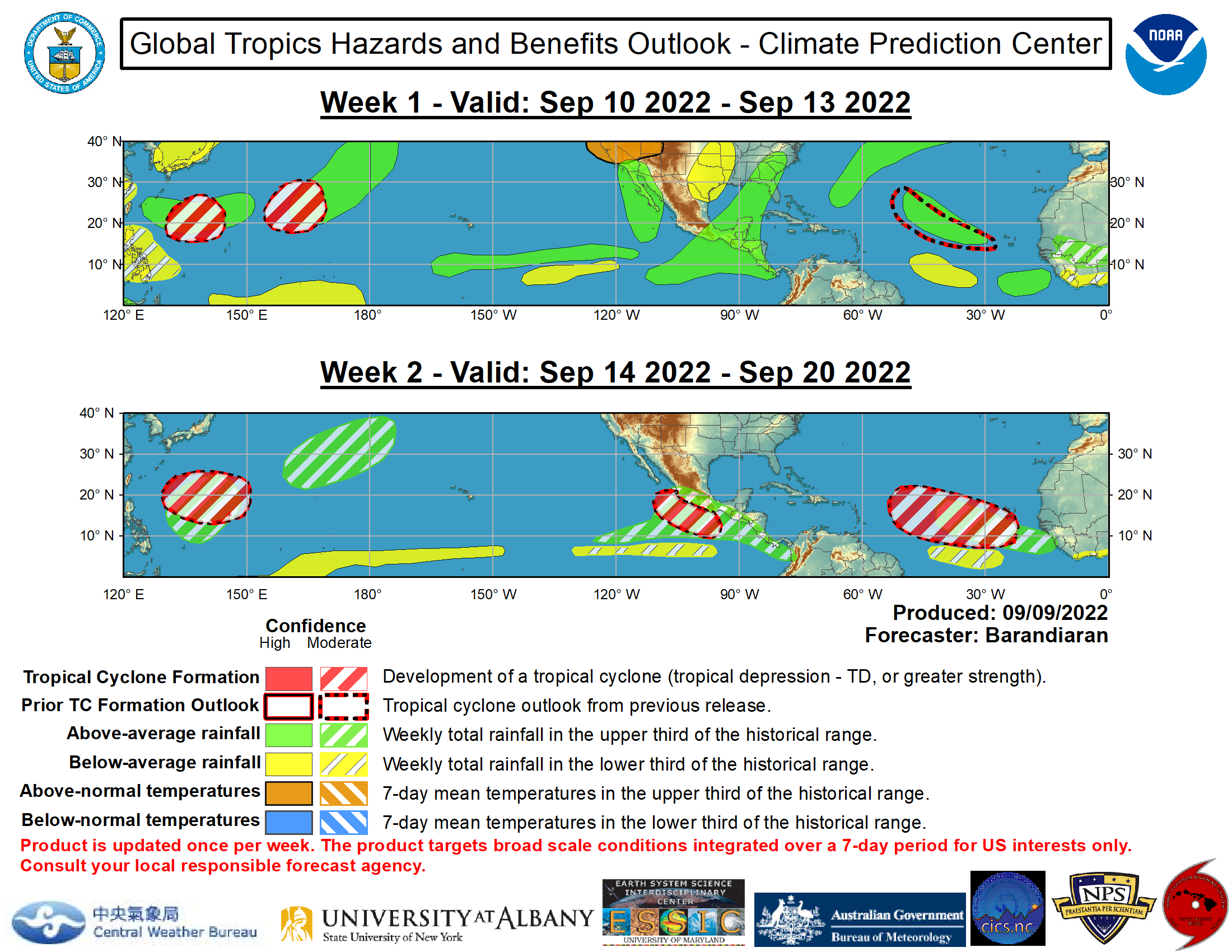
yes thats it,heres another one more current
http://www.cpc.ncep.noaa.gov/products/precip/CWlink/ghazards/images/gth_full_update.png
shows Irma as a NC storm.
| 000 ZCZC MIATCDAT1 ALL TTAA00 KNHC DDHHMM Hurricane Irma Discussion Number 13 Hurricane Irma continues to display an eye within a small central The environment in which Irma is embedded shows mixed signals for Irma is finally moving slightly south of due west at 13 kt. A Irma is a small hurricane, as observed by ship BATFR17 and the KEY MESSAGES: 1. Irma is expected to be a major hurricane when it moves closer to 2. It is much too early to determine what direct impacts Irma will INIT 02/1500Z 18.8N 43.3W 95 KT 110 MPH $$ NNNN http://www.nhc.noaa.gov/text/refresh/MIATCDAT1+shtml/DDHHMM.shtml |
Fox News just said they do not know if the jet stream will dip down enough to carry the storm out to sea but if it does not, it could impact the U.S.. They had one arrow headed straight up the east coast to the Carolinas and another pointing West (out to sea).
| 000 WTNT41 KNHC 032052 TCDAT1 Hurricane Irma Discussion Number 18 The satellite presentation of Irma has degraded slightly since Irma has been moving more westward since the previous advisory, but Users are reminded to not focus on the exact forecast track since KEY MESSAGES: 2. Irma is expected to remain a dangerous major hurricane through 3. It is too early to determine what direct impacts Irma might have FORECAST POSITIONS AND MAX WINDS INIT 03/2100Z 17.6N 49.8W 100 KT 115 MPH $$ http://www.nhc.noaa.gov/text/refresh/MIATCDAT1+shtml/032052.shtml |
TRANSCRIPTION ERROR:
500 PM AST Sat Sep 03 2017
should be
500 PM AST Sun Sep 03 2017
| 000 WTNT41 KNHC 040854 TCDAT1 Hurricane Irma Discussion Number 20 Irma's signature in infrared satellite images has been improving A strong, stationary mid-tropospheric high centered over the central All environmental factors suggest that Irma will at least maintain Users are reminded to not focus on the exact forecast track since KEY MESSAGES: 2. Irma is expected to remain a dangerous major hurricane through 3. It is too early to determine what direct impacts Irma might have FORECAST POSITIONS AND MAX WINDS INIT 04/0900Z 16.9N 52.3W 100 KT 115 MPH $$ http://www.nhc.noaa.gov/text/refresh/MIATCDAT1+shtml/DDHHMM.shtml |
bkmk
models have shifted west the past couple of days,,the plane is in there now...pressure falling
a big turn north is expected when it approaches the US
WORST CASE SCENARIO = it stays off the coast of Cuba..then turns due north... south of FL ..this will put the entire high populated east coast In the right side of the eye wall as it moves north
A hurricane like Andrew hit perpendicular to the coast and the powerful right eye wall only moved over a small area .....
if it get into CUBA before..the MTS will weaken it some
some models still have it turning north east of FL though too
continued http://www.freerepublic.com/focus/f-news/3583036/posts
A new thread was started since
1) watches/warnings have now been issued for US territory
2) it is becoming increasingly likely that Florida will be hit
These developments deserve attention
Disclaimer: Opinions posted on Free Republic are those of the individual posters and do not necessarily represent the opinion of Free Republic or its management. All materials posted herein are protected by copyright law and the exemption for fair use of copyrighted works.