Published March 29, 2024 at 4:00 PM EDT

Shipping near the US-Canada border in the eastern Upper Peninsula remains at a standstill for the second day in a row.
The Coast Guard halted traffic on the St. Mary's River, as it investigates damage to a ship that struck a light tower early Thursday morning.
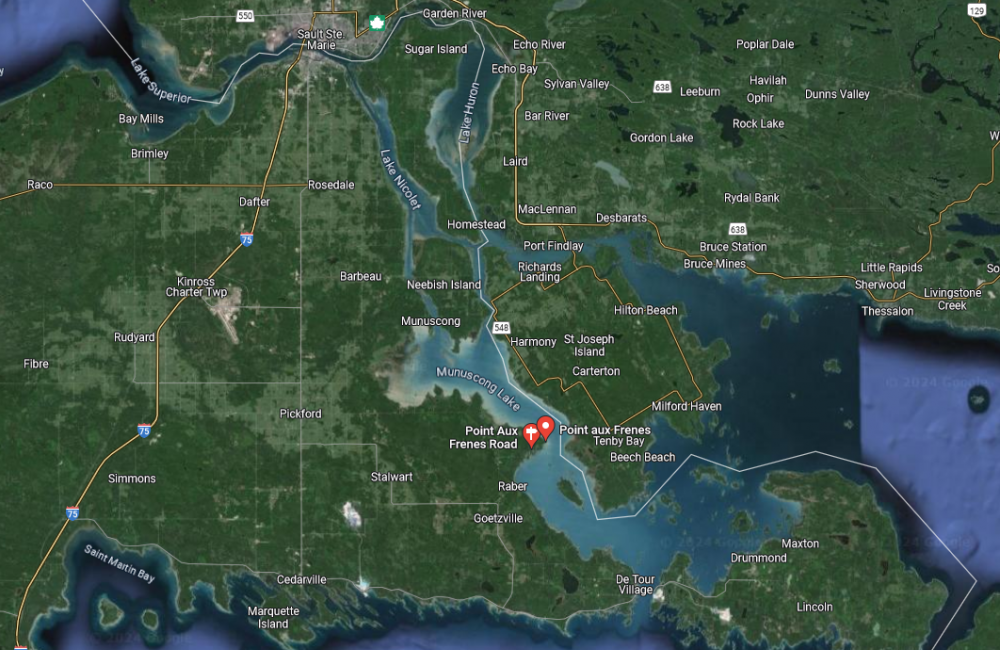
U.S. Coast Guard Air Station Travers City responds to the American Mariner marine casualty in Munuscong Lake, Michigan, March 28, 2024.
U.S. Coast Guard
U.S. Coast Guard Air Station Travers City responds to the American Mariner marine casualty in Munuscong Lake, Michigan, March 28, 2024.
The Coast Guard told WCMU the American Mariner sustained damage just below the ship's waterline after it slammed into the light tower. The tower is supposed to help ships navigate the waterway.
Lt. Phil Gurtler is a public affairs officer with the Coast Guard. He said the 714-foot bulk carrier is stable, and officials are not worried about the ship sinking at this point — but are hesitant to start moving it.
"We want to make sure that if we were to move it, (it wouldn't) make the the damage, we already know of, worse, or if there's more that we're not seeing," Gurtler said.
The Coast Guard has deployed an underwater drone to further examine the ship's hull. The Canadian Coast Guard has sent a cutter to provide support in Munuscong Lake, where the ship remains anchored.
Several bulk carriers are anchored on both sides of the St. Mary's River, which is the only shipping connection between Lake Superior and Lake Huron. It's still unclear when the waterway will re-open. Approximately 90% of the iron ore used to make steel in the US travels through the channel each year. Roughly 7,000 vessels pass through this area each shipping season.
The accident comes just days after an early start for the Great Lakes shipping season. Steel companies requested the Soo Locks open a few days ahead of schedule following a mild winter and delayed deliveries in January.
Eric Peace, vice president of the Lake Carriers' Association, a group that represents commercial shippers in the Great Lakes, said every hour ships don't move through the St. Mary's River, it costs shipping companies thousands of dollars.
Peace said the beginning of the shipping season is crucial for manufacturing plants across the Great Lakes region to replenish their inventory, after using their stock piles during the shipping season's winter recess. ....................
***linMcHlp by the way is an excellent poster when it comes to shipping he is very knowledgeable.