Skip to comments.
The United City-States Of America, Mapped - An Experiment In Redividing The Country
Medium ^
| 13MAR19
| Nolan Gray via Medium.com
Posted on 03/12/2019 6:27:59 PM PDT by vannrox
From ancient Greece to Renaissance Italy to the Four Asian Tigers, city-states have always punched above their weight. They’ve driven culture forward, facilitated global commerce, and charged ahead of their nation-bound peers. Indeed, cities - and the metropolitan regions that orbit around them - make sense as a political and economic unit. The key services we depend on government to do, from building infrastructure to ensuring public safety, are mostly handled by cities. And contrary to earlier predictions, the forces of globalization and the rise of the information economy have only made cities more important as economic engines and innovation hubs. It’s no surprise, then, that cities — and their mayors — are increasingly finding their voices in a world previously dominated by nations and international entities.
Unfortunately, the way the United States is structured today undermines this trend by privileging states as the key political entity. State boundaries in these modern times are typically arbitrary and often no longer reflect any meaningful political, cultural, or economic reality. Some U.S. cities, both big and small, manage to straddle state borders (think Texarkana or Bristol) while others run right up to the state edge but sharply hug the border (think Cincinnati or St. Louis). And a number of states are inexplicably fragmented because their seat of government is very different from their most populous town (think New York City/Albany and Chicago/Springfield). This often results in excessive fragmentation, unproductive competition, and a near total lack of regional land-use and transportation planning. We all suffer as a result.
Both to satisfy my own curiosity and set out a vision for what a city-oriented United States might look like, I decided to make a map that dispensed with the continental 48 states and instead divvied up the land into 100 city-states.
As a process-obsessed city planner, I started by listing the top 150 metropolitan statistical areas in the continental United States. This seemed like the natural base for any potential city-states as MSAs reflect economic integration. Next, I mixed in combined statistical areas, which factor together adjacent metro- and micropolitan areas. I cut the list to the top 100 units by population. (Congratulations to Lancaster, Pennsylvania — the smallest unit to make the cut!)
Then came the mapping. I used shapefiles provided by the Census to make “city-state cores” on a single map using GIS, a tool used for map making and spatial analysis. By using more data and selecting certain attributes, I assigned each county to a city-state core. To finish it up, I cleaned up awkward and nonsensical boundaries with some manual adjustment.
The final product was this map, and it led me to several takeaways:
The eastern United States is like medieval Europe.
As of 2010, the population center of the United States is somewhere in the middle of Missouri. It’s been moving westward, needless to say, but also south over time. This mostly jives with this map: The United States east of the Kansas-Missouri line is a dynamic hodgepodge of small, densely populated city-states. The economies and cultures of places like New York and Philadelphia, Charlotte and Greensboro, and Fort Wayne and South Bend will likely always be intimately intermingled. West of this line, excluding California and Texas, the United States is largely underpopulated, with cities like Denver, Omaha, and Boise playing an outsized role — economically and culturally — in their respective regions.
My home state of Kentucky is shattered.
Let’s face it: Kentucky is incoherent as a cultural-political entity. The Louisville metropolitan area and the northern Kentucky suburbs of Cincinnati are essentially southern reaches of the Rust Belt. The state’s east and southeast have more in common with West Virginia, including a shared Appalachian heritage. Western and southwestern Kentucky feel much more conventionally Southern. All of this is largely captured by how the state is divided up. Not accidentally, the only purely Kentucky city-state produced — Lexington — captures most of what Kentucky is best known for: University of Kentucky basketball, the first Kentucky Fried Chicken, most of the major bourbon distilleries, the Daniel Boone National Forest, and the state’s famous Bluegrass horse farm region.
Maine and Minnesota are basically already city-states.
Only two city-states capture the entirety of a current U.S. state: Portland, which captures Maine and parts of New Hampshire, and Minneapolis-St. Paul, which captures Minnesota and parts of Wisconsin, South Dakota, and three-quarters of North Dakota. Portland barely made the cut; in an actual fragmentation scenario, I could see most of Massachusetts, Vermont, New Hampshire, and Maine falling under a Boston city-state. Minneapolis-St. Paul, however, makes sense. Its influence sweeps across the northern Midwest, as evidenced in films like Fargo. Some western metro areas in New Mexico and Utah nearly made the cut, but their southern regions were nipped by El Paso and Las Vegas, respectively.
Some states would disappear entirely.
A handful of states in this new map are completely covered by the city-states of their former neighboring states. Delaware, Montana, New Hampshire, North Dakota, Rhode Island, South Dakota, and Vermont would all basically be gone. Delaware and Rhode Island both have great cities — Wilmington and Providence — but both would be unambiguously absorbed by their monolithic neighbors — Philadelphia and Boston, respectively. The upper Mountain West as well as New Hampshire and Vermont simply lack large cities.
City-states of tomorrow may boom at any time.
As states like Montana, North Dakota, and South Dakota continue to experience explosive population growth, they will inevitably give rise to their own great cities. For all we know, Billings, Fargo, and Sioux Falls could emerge as urban powerhouses in the 21st century, not unlike nearby Minneapolis, Denver, and Salt Lake City did in the 20th century.
An odd oversight in our federal system is that it’s basically impossible for states to split, join, or shift around their borders. Outside of a few weird cases — such as West Virginia — basically all new states have come from newly settled land. As new city-states emerge in places like the Mountain West, how would they be incorporated into this system? Would the arrangement be capped at 100 city-states? Alternatively, could states combine as their economies and development slowly blends, as could very well happen with small city-states like Lancaster, Toledo, and Fresno? It’s a fun thought experiment.
* * *
In a time when we aren’t often drawing up new borders for established countries like the U.S., it’s interesting to think “what if.” What might be the political implications of a system like this? At the outset, a system of city-states could help to achieve economies of scale in providing local services like libraries and parks, saving taxpayers money while improving service quality.
But they could also overcome some of the prisoner’s dilemma problems associated with policies like housing, schools, and subsidies. In our current system of municipal fragmentation, it’s easy for NIMBYs (“Not in My Back Yard” campaigns) to block the construction of new housing in prospering areas and keep low- and moderate-income students out of high-quality schools districts. A unified city-state could overcome some of these issues, taking the broader perspective and equitably distributing the burdens and benefits of growth.
A city-state restructuring could also have deep implications for national politics. One of the key takeaways of the 2016 presidential election is the mounting urban-rural political divide, with voters in cities and the countryside growing increasingly disconnected and antagonistic toward one another. (At the bottom of this piece is a map of how the city-states likely would have voted.) Insomuch as a city-state scenario would bundle Americans based on broadly similar economic, social, cultural backgrounds, it could encourage both sides to seriously contend with with the needs and preferences of their neighbors.
Of course, at this stage, it’s all speculation. How would you have drawn city-state boundaries differently? What do you think would be the political implications?
TOPICS: Constitution/Conservatism; Culture/Society; Government; News/Current Events
KEYWORDS: city; constitution; society; state; usmap; usmapdivided
Navigation: use the links below to view more comments.
first 1-20, 21-30 next last
1
posted on
03/12/2019 6:27:59 PM PDT
by
vannrox
To: vannrox
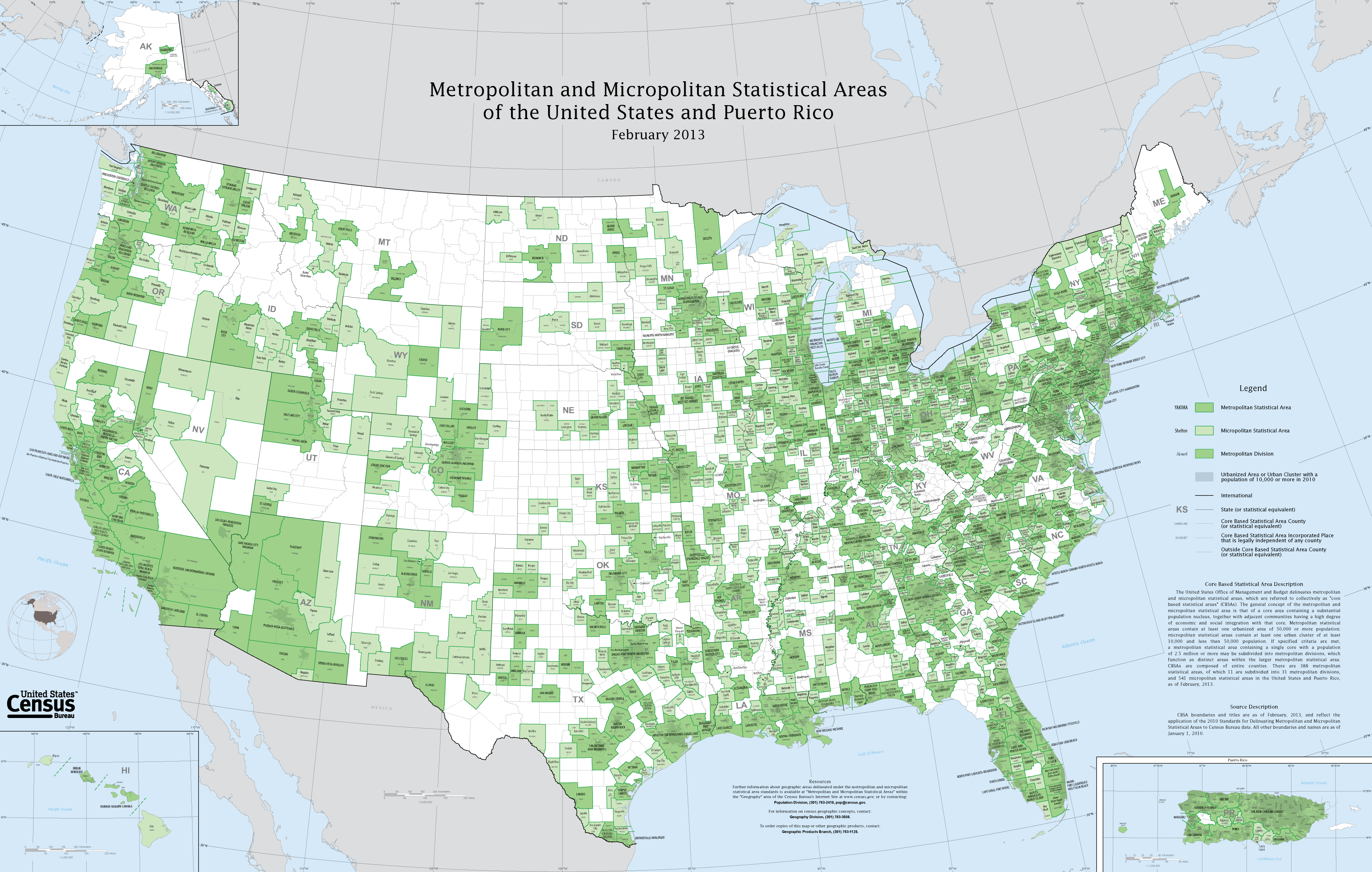
From Wikipedia...
2
posted on
03/12/2019 6:32:21 PM PDT
by
vannrox
(The Preamble to the Bill of Rights - without it, our Bill of Rights is meaningless!)
To: vannrox
3
posted on
03/12/2019 6:34:07 PM PDT
by
sauropod
(Yield to sin, and experience chastening and sorrow; yield to God, and experience joy and blessing.)
To: vannrox
I disagree with many of the assumptions in the article.
Cities are becoming increasingly irrelevant as information workforces can operate from anywhere. Fast infrastructure means people in rural areas have most of the advantages of cities with few of the disadvantages.
Cities have enormous disadvantages as political structures, because they naturally lend themselves to central control and planning by a political elite.
4
posted on
03/12/2019 6:36:37 PM PDT
by
marktwain
(President Trump and his supporters are the Resistance. His opponents are the Reactionaries.)
To: vannrox
5
posted on
03/12/2019 6:38:52 PM PDT
by
cba123
( Toi la nguoi My. Toi bay gio o Viet Nam.)
To: vannrox
Can’t say I share in the author’s idealization of city-states. Too many of those cities are dominated by people whose only talent is playing politics and taking graft. I think the country is actually moving away from the centralized population centers and will be better for it.
6
posted on
03/12/2019 6:41:09 PM PDT
by
caseinpoint
(Don't get thickly involved in thin things.)
To: vannrox
Unfortunately, the way the United States is structured today undermines this trend by privileging states as the key political entity.FORTUNATELY.
7
posted on
03/12/2019 6:42:00 PM PDT
by
BenLurkin
(The above is not a statement of fact. It is either satire or opinion. Or both.)
To: marktwain
Bump!
I don’t want to live in a city.
8
posted on
03/12/2019 6:42:54 PM PDT
by
Texas Fossil
((Texas is not where you were born, but a Free State of Heart, Mind & Attitude!))
To: vannrox
What a crock.
Maine, part of a Boston city state? The Portland area is liberal and geographically close to Boston, but Maine’s Second Congressional District, 27,000+ square miles in area and 80% of the state, mostly rural, went for Trump by 10 points.... has NOTHING in common with Boston. It’s like saying Brooklyn, New York and Fairbanks, Alaska are similar. Ridiculous.
Maine is conceal carry, Constitutional carry, private gun sales, strong second amendment country, hunting and fishing, etc. Boston is not.
9
posted on
03/12/2019 6:45:25 PM PDT
by
july4thfreedomfoundation
(President Trump is right! The media IS the enemy of the people!)
To: vannrox
The idiot author wants metropolitan control over every aspect of life. He can go copulate himself.
10
posted on
03/12/2019 6:48:12 PM PDT
by
MortMan
(Americans are a people increasingly separated by our connectivity.)
To: july4thfreedomfoundation
The authors entire premise is to politically empower urban areas and to disenfranchise rural areas.
11
posted on
03/12/2019 6:48:12 PM PDT
by
marktwain
(President Trump and his supporters are the Resistance. His opponents are the Reactionaries.)
To: vannrox
The so-called city-states of America may collectively poll more humbers of people, but they do not obtain the most economic production, which suprasses them with all the PRODUCTION, collectively, outside of the largest “city-states”.
Also, what the author calls “fragmentation” is actually political and cultural separation between many large city-states and the states they are a par of.
This is NOT a polticial “disaster”. It forces compromises between competing interests and that is always what is good for the whole in the long run.
Rome was a city-state that overwhelmed the regions around it and when it no longer needed to consider the interests of the regions, it decended from a Republic to tyranny.
To be governed by city-states is nothing other than to surrender government of everything outside the major cities, to the majorities in the major cities alone. With one Rome in Washington D.C. and many Romes around the country, each dominating all those around them that are not really part of them. With the rest of the decline of federalism, the heads of the city-states will be little princes to the king in Washington D.CD.
12
posted on
03/12/2019 6:51:25 PM PDT
by
Wuli
To: MortMan
The idiot author wants metropolitan control over every aspect of life. Exactly. "As a process-obsessed city planner", the author stands to gain enormous power from this political revolution. It is his wet dream.
I notice he says nothing about how our current limited government system has been the most successful governmental system on the planet.
13
posted on
03/12/2019 6:52:17 PM PDT
by
marktwain
(President Trump and his supporters are the Resistance. His opponents are the Reactionaries.)
To: july4thfreedomfoundation
He says Maine would remain more or less as it is, but for some reason (maybe because of the rules he sets for his project) he could see it falling into the Boston city state.
14
posted on
03/12/2019 6:55:58 PM PDT
by
x
To: marktwain
Cities are becoming increasingly irrelevant as information workforces can operate from anywhere. Fast infrastructure means people in rural areas have most of the advantages of cities with few of the disadvantages.
Cities have enormous disadvantages as political structures, because they naturally lend themselves to central control and planning by a political elite. Exactly right!
I made the same points about 2 -3 months ago. Cities are outdated infrastructures, and were only necessary in the past before the advent of the automobile and planes and TV and radio and the internet. We can do virtually anything remotely that in the past required that people gather together in small or larger communities in order to get things done.
15
posted on
03/12/2019 7:01:28 PM PDT
by
adorno
To: vannrox; Nextrush; Daveinyork; carriage_hill
Using County boundaries is easy, convenient, and inaccurate.
Using a combination of County boundaries and major highways would be more precise.
In southcentral PA York and Adams counties on the Maryland border are basically partitioned by US Route 30.
South of 30 the loyalties are to Maryland...”go Ravens!”
North of 30 the loyalties are more toward Harrisburg and the cities along the PA Turnpike....”go Steelers!”.
16
posted on
03/12/2019 7:01:56 PM PDT
by
lightman
(Byzantine Troparia: The "praise choruses" of antiquity.)
To: vannrox
He may have a political agenda, or he may just be a map geek with strange ideas.
Though modern communications make it possible for people to work from anywhere, cities are still enormously productive economically.
Still, they can't afford to cut themselves off from the surrounding countryside, since they need the food and room to grow.
His plan isn't going to happen, though. States like Colorado and Wyoming work together pretty well because of their differences.
Put all the countryside under the control of a city, and you'd have all the rural people under the power of the cities and constantly discontented.
Still, it's just one guy's geeky project.
17
posted on
03/12/2019 7:06:41 PM PDT
by
x
To: vannrox
I like this. My rural area of IL has nothing in common with Chicago which dominates everything in state government. We would be far better off as part of a similar rural area with smaller cities.
18
posted on
03/12/2019 7:09:27 PM PDT
by
bigbob
(Trust Trump. Trust the Plan.)
To: x
If Portland reverted to Massachusetts, that would be fine.
Prior to 1820, all of Maine was part of Massachusetts.
Portland is the liberal area of Maine, and the most populated area of the state.
19
posted on
03/12/2019 7:10:35 PM PDT
by
july4thfreedomfoundation
(President Trump is right! The media IS the enemy of the people!)
To: marktwain
Liberals have wanted to disenfranchise rural areas for years, so I shouldn’t be surprised by this “experiment.”
20
posted on
03/12/2019 7:11:47 PM PDT
by
july4thfreedomfoundation
(President Trump is right! The media IS the enemy of the people!)
Navigation: use the links below to view more comments.
first 1-20, 21-30 next last
Disclaimer:
Opinions posted on Free Republic are those of the individual
posters and do not necessarily represent the opinion of Free Republic or its
management. All materials posted herein are protected by copyright law and the
exemption for fair use of copyrighted works.
FreeRepublic.com is powered by software copyright 2000-2008 John Robinson