Skip to comments.
Hurricane Nate
NHC/NOAA ^
| 10/5/2017
| NHC/NOAA
Posted on 10/05/2017 8:49:41 PM PDT by NautiNurse
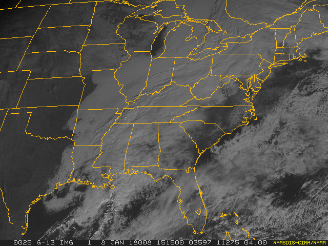
Tropical Storm Nate is emerging from Honduras into the Western Caribbean. Forecast models are in agreement that Nate will continue into the Gulf of Mexico. Oil companies have begun evacuations of offshore platforms.
Nate is forecast to reach the northern Gulf Coast this weekend as a hurricane, and the threat of direct impacts from wind, storm surge, and heavy rainfall is increasing from Louisiana through the western Florida Panhandle. Hurricane and tropical storm watches, as well as a storm surge watch, have been issued for a portion of the northern Gulf Coast, and residents in these areas should monitor the progress of Nate, heeding any advice given by local officials.


Mash image to find lots of satellite imagery links
Public Advisories
NHC Discussions
NHC Local Weather Statements/Radar New Orleans, LA
NHC Local Weather Statements/Radar Mobile, LA
Bouy Data Gulf of Mexico
TOPICS: Breaking News; US: Alabama; US: Louisiana; US: Mississippi
KEYWORDS: gulfofmexico; hurricane; hurricanenate; hurricaneseason; livehurricanenate; nate; tropical; tropicalstorm; tsnate
Navigation: use the links below to view more comments.
first previous 1-20 ... 141-160, 161-180, 181-200 ... 321-329 next last
To: rodguy911
Seems there is a dearth of buoys in the central GOM. Lots of them closer to shore in the northern GOM. Will have to rely on hurricane hunter fixes throughout the day today.
161
posted on
10/07/2017 3:21:02 AM PDT
by
NautiNurse
(Tear down the Mexican Carrier plant and use the materials to build the wall)
To: NautiNurse
Truth be know I still think the data buoy system needs to be privatized. There are way too many holes in the system that could be used by all kinds of people with a variety of needs.
162
posted on
10/07/2017 4:02:49 AM PDT
by
rodguy911
(Home of the free because of the brave!MAGA!)
To: Rebelbase; LouieFisk
163
posted on
10/07/2017 4:42:13 AM PDT
by
EEGator
To: rodguy911
Looks like Ocean Springs MS is landfall .
Great Small town .
164
posted on
10/07/2017 4:47:34 AM PDT
by
ncalburt
(ll)
To: ncalburt
Wow I had no idea the NWS was that accurate!
165
posted on
10/07/2017 5:05:42 AM PDT
by
rodguy911
(Home of the free because of the brave!MAGA!)
To: EEGator
166
posted on
10/07/2017 5:06:22 AM PDT
by
rodguy911
(Home of the free because of the brave!MAGA!)
To: rodguy911
167
posted on
10/07/2017 5:08:41 AM PDT
by
ncalburt
(ll)
To: rodguy911
Hot chicks make everything better!
168
posted on
10/07/2017 5:15:16 AM PDT
by
EEGator
To: Rebelbase
169
posted on
10/07/2017 5:52:02 AM PDT
by
null and void
(The internet gave everyone a mouth. It gave no one a brain.)
To: All
171
posted on
10/07/2017 6:35:47 AM PDT
by
Diana in Wisconsin
(I don't have 'Hobbies.' I'm developing a robust Post-Apocalyptic skill set!)
To: NautiNurse
How did you reclassify the storm?
To: Diana in Wisconsin
From various sites I see it approaching the mouth of the Mississippi delta for first landfall, but turning more true north there and perhaps 5 degrees NE and landing right in Biloxi.
Nice people in Biloxi. Please get safe.
173
posted on
10/07/2017 7:16:48 AM PDT
by
KC Burke
(If all the world is a stage, I would like to request my lighting be adjusted.)
To: NautiNurse
Looks like the models are finally getting the idea with possible stre4ngth of Nate... most are pegging it near a Cat 2 (above ir below that line) by landfall.
The problem, though - and we’ve discussed this the last time a hurricane threatened Mobile - is Mobile Bay. If this thing catches that MS/AL border, that means the winds will push the Bay up into the city like a hydraulic piston, given the shape of that inlet.
My son goes to school down there, but happily he’s home for Fall break.. and the University has already canceled Monday so he doesn’t have to travel yet, either.
174
posted on
10/07/2017 7:18:46 AM PDT
by
alancarp
(George Orwell was an optimist.)
To: EEGator
cant repeat that enough.....
175
posted on
10/07/2017 7:19:15 AM PDT
by
rodguy911
(Home of the free because of the brave!MAGA!)
To: Diana in Wisconsin
Is that two circulations or what is going on there...
looks about wnw of the Tortugas...
Winds dropping baro going the other way now at Tortugas,storm past there.
176
posted on
10/07/2017 7:23:08 AM PDT
by
rodguy911
(Home of the free because of the brave!MAGA!)
To: Diana in Wisconsin
177
posted on
10/07/2017 7:27:10 AM PDT
by
dirtboy
To: dirtboy
I wonder if there is an 11:00am advisory?
178
posted on
10/07/2017 7:57:00 AM PDT
by
rodguy911
(Home of the free because of the brave!MAGA!)
To: abb; abbi_normal_2; aberaussie; abner; AbsoluteGrace; alancarp; Alas Babylon!; Alia; ...
BULLETIN
Hurricane Nate Advisory Number 13
NWS National Hurricane Center Miami FL AL162017
1000 AM CDT Sat Oct 07 2017
...Nate strengthening and now expected to be a Category 2 hurricane
At landfall on the central gulf coast...
...New tropical storm warning for portions of the Florida
Panhandle...
Summary Of 1000 Am CDT...1500 Utc...Information -----------------------------------------------
Location...26.6n 88.4w
About 180 Mi...285 Km SSE Of The Mouth Of The Mississippi River
About 265 Mi...425 Km S Of Biloxi Mississippi
Maximum Sustained Winds...90 Mph...150 Km/H
Present Movement...NNW Or 340 Degrees At 26 Mph...43 Km/H
Minimum Central Pressure...984 Mb...29.06 Inches
Hurricane-force winds extend outward up to 35 miles (55 km),
primarily to the east of the center and tropical-storm-force winds
extend outward up to 125 miles (205 km). 
On/Off Hurricane List Mash Here--> 
179
posted on
10/07/2017 7:58:47 AM PDT
by
NautiNurse
(Tear down the Mexican Carrier plant and use the materials to build the wall)
To: NautiNurse
Going to see some suuuuurge. Always scares me more than wind.
180
posted on
10/07/2017 8:02:08 AM PDT
by
SE Mom
(Screaming Eagle mom)
Navigation: use the links below to view more comments.
first previous 1-20 ... 141-160, 161-180, 181-200 ... 321-329 next last
Disclaimer:
Opinions posted on Free Republic are those of the individual
posters and do not necessarily represent the opinion of Free Republic or its
management. All materials posted herein are protected by copyright law and the
exemption for fair use of copyrighted works.
FreeRepublic.com is powered by software copyright 2000-2008 John Robinson