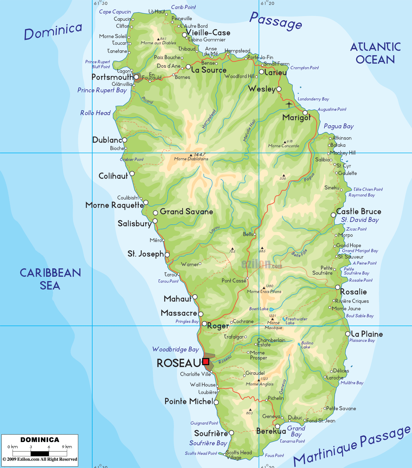
From a radio station in the capital of Roseau, anecdotal and unconfirmed reports of roofs coming off buildings. Also that hospital getting hit hard.
Last NHC update (but still “old” info. in some regards):
ZCZC MIATCDAT5 ALL
TTAA00 KNHC DDHHMM
Hurricane Maria Special Discussion Number 11
NWS National Hurricane Center Miami FL AL152017
800 PM AST Mon Sep 18 2017
This special advisory is being issued to increase the initial and
forecast intensity of Maria.
Recent reports from an Air Force Reserve Hurricane Hunter aircraft
indicate that Maria continues to rapidly strengthen. The aircraft
measured SFMR winds of 139 kt in the northwest eyewall and an
estimated minimum pressure of 925 mb, based on dropsonde data.
Based on these observations, the initial intensity of Maria has
been increased to 140 kt, making Maria a potentially catastrophic
category 5 hurricane on the Saffir-Simpson Hurricane Wind Scale.
Some additional strengthening is possible during the next 24
hours, but fluctuations in intensity are likely due to eyewall
cycles and land interaction.
No change was made to the previous track forecast, and the
extremely dangerous core of Maria is expected to pass over Dominica
within the next hour or two.
KEY MESSAGES:
1. Maria will affect portions of the Leeward Islands and the British
and U.S. Virgin Islands as an extremely dangerous major hurricane
during the next couple of days, and hurricane warnings are in effect
for many of these islands.
2. Maria is likely to affect Puerto Rico as an extremely dangerous
major hurricane, and a hurricane warning has been issued for that
island.
3. The potential for a life-threatening storm surge, accompanied by
large and destructive waves, has increased for the Leeward Islands,
the Virgin Islands, and Puerto Rico.
4. Life-threatening flash floods and mudslides from heavy rainfall
are expected across the Leeward Islands, including Puerto Rico and
the U.S. and British Virgin Islands.
FORECAST POSITIONS AND MAX WINDS
INIT 19/0000Z 15.3N 61.1W 140 KT 160 MPH
12H 19/0600Z 15.7N 61.9W 145 KT 165 MPH
24H 19/1800Z 16.5N 63.3W 145 KT 165 MPH
36H 20/0600Z 17.3N 64.7W 140 KT 160 MPH
48H 20/1800Z 18.2N 66.2W 130 KT 150 MPH
72H 21/1800Z 20.0N 69.0W 125 KT 145 MPH
96H 22/1800Z 22.0N 71.5W 120 KT 140 MPH
120H 23/1800Z 25.0N 73.0W 105 KT 120 MPH
$$
Forecaster Brown
NNNN
Look how steep the north shore is, all the way out into the water. One major watershed NE of the summit too. They’ll be getting it from uphill and down.