Posted on 01/23/2017 6:21:28 AM PST by metmom
...WINTER STORM WARNING IN EFFECT FROM 1 PM THIS AFTERNOON TO 1 PM TUESDAY...
THE NATIONAL WEATHER SERVICE IN BINGHAMTON HAS ISSUED A WINTER STORM WARNING FOR SNOW AND SLEET...WHICH IS IN EFFECT FROM 1 PM THIS AFTERNOON TO 1 PM TUESDAY. THE WINTER STORM WATCH IS NO LONGER IN EFFECT.
* LOCATIONS...CENTRAL NEW YORK AND THE NORTHERN TIER OF PENNSYLVANIA.
* HAZARD TYPES...HEAVY WET SNOW... SLEET... AND STRONG WINDS.
* ACCUMULATIONS...4 TO 9 INCHES OF HEAVY WET SNOW AND SLEET. THE HEAVIEST ACCUMULATIONS WILL BE OVER THE HIGHER TERRAIN.
* TIMING...RAIN WILL MOVE INTO THE AREA LATER THIS MORNING THROUGH EARLY AFTERNOON. THE RAIN WILL MIX WITH SLEET AND SNOW PRIMARILY THIS AFTERNOON AS COLDER AIR MOVES INTO THE REGION. LIGHT FREEZING RAIN MAY BE POSSIBLE BUT IS NOT THE MAIN THREAT. BY THIS EVENING, MOST OF THE REGION WILL TRANSITION TO A WINTRY MIX OF SNOW AND SLEET. THE COMBINATION OF SNOW AND SLEET...WHICH MAY BE HEAVY AT TIMES, WILL CONTINUE THROUGH TUESDAY MORNING.
* IMPACTS...THE HEAVY WET SNOW AND SLEET WILL MAKE TRAVEL VERY DANGEROUS. THE STORM WILL BE ACCOMPANIED BY STRONG WINDS WHICH MAY RESULT IN POWER OUTAGES.
* WINDS...NORTHEAST 15 TO 25 MPH WITH GUSTS UP TO 40 MPH.
* TEMPERATURES...IN THE LOWER TO MIDDLE 30S.
PRECAUTIONARY/PREPAREDNESS ACTIONS...
A WINTER STORM WARNING FOR HEAVY SNOW MEANS HEAVY SNOW IS EXPECTED OR OCCURRING. HEAVY SNOW IS FORECAST THAT WILL MAKE TRAVEL VERY DANGEROUS. ONLY TRAVEL IN AN EMERGENCY. IF YOU MUST TRAVEL, KEEP AN EXTRA FLASHLIGHT, FOOD, AND WATER IN YOUR VEHICLE IN CASE OF AN EMERGENCY.
&&
For NY and PA.
NYZ009-015>018-022>025-036-037-044>046-055>057-PAZ038>040-043-
240845-
/O.UPG.KBGM.WS.A.0001.170123T1800Z-170124T1800Z/
/O.NEW.KBGM.WS.W.0001.170123T1800Z-170124T1800Z/
NORTHERN ONEIDA-YATES-SENECA-SOUTHERN CAYUGA-ONONDAGA-STEUBEN-
SCHUYLER-CHEMUNG-TOMPKINS-MADISON-SOUTHERN ONEIDA-CORTLAND-
CHENANGO-OTSEGO-TIOGA-BROOME-DELAWARE-BRADFORD-SUSQUEHANNA-
NORTHERN WAYNE-WYOMING-
INCLUDING THE CITIES OF...BOONVILLE...PENN YAN...SENECA FALLS...
AUBURN...SYRACUSE...CORNING...HORNELL...WATKINS GLEN...ELMIRA...
ITHACA...HAMILTON...ONEIDA...ROME...UTICA...CORTLAND...NORWICH...
ONEONTA...OWEGO...WAVERLY...BINGHAMTON...DELHI...WALTON...SAYRE...
TOWANDA...HALLSTEAD...MONTROSE...DAMASCUS...EQUINUNK...
TUNKHANNOCK
341 AM EST MON JAN 23 2017
Going to affect CT. Stay safe.
Looks like it will miss central Jersey....then, who cares?
Route 12 north to Utica...tough haul in the snow.
And then there’s the lake effect that WILL set up behind it as the nor’ easter pulls off the coast.
ALWAYS happens as the winds swing around.
The NWS refers to it as *the classic one, two punch*.
...rain and wind just starting here....22 miles
east of the gap( northwest jersey)
..we’re not expecting the snow, but heavy rain and up to 60 mph gusts...the grounds wet so we can expect trees down...
This is the same storm that churned tornadoes and death in the South in the past 32 hours, isn’t it?
Trumps Fault!
Waiting for the Glowbull Warning crew to start crying....as soon as Trump signs Ex. Orders rescinding EPA BS.
I rather drive in snow and sleet than freezing rain. Yesterday they predicted freezing rain for the Utica area. I have 4 wheel drive and snow/ice tires, does no good when the roads are ice.
Yup.
Yep the Northeast is going to get the impact of the weather system that has worked it’s way
up from the Central Gulf coast and with tornadoes in MS and GA have killed several people.
The difference being snow/ice with closures but not the loss of life and property destruction
that occurred on it’s way north.
That’s about it.
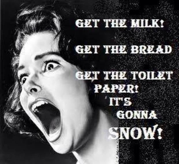
Panic and from people who live in snow country to boot.
Idiots just aren’t prepared.
To be honest, though, I’m just about to head out myself and stock up. BEFORE the snow.
The forecast for the next ten days looks like no picnic and I don’t want to have to go out IN it.
What’s a little snow? It is getting tiring seeing the National Weather Service constantly screaming about the weather, trying to convince people to be scared of their own shadow. It seems that these weather reports and I live in an area with snow and have grown up in areas with snow get more more fear mongering than anything else
Oh boy, family and friends in Utica.
Read the forecast.
They are predicting 4-8 inches of sleet and heavy wet snow, and a chance of freezing rain.
Ice is NOTHING to mess with.
And heavy wet snow is a bear to deal with. It is a problem no matter how used to snow you are.
“Global DUMBING” is alive and well...
It’s a big deal if you’re a shut in, your boss doesn’t believe in snow days, your county’s Medicaid tab is so big it’s cut back on plowing...Get the idea? :-)
The heavy snow and/or ice is the concern. Power outages for the ill/unprepared are a pi$$er.
And if the DON’T forecast it and it happens, people will scream and if they do and it doesn’t pan out, people will scream.
So how do they win?
You do realize that this is the same storm system that killed many people in LA and GA, don’t you?
Should they have not over reacted to that one either?
What do you suggest they do to forecast the weather and warn people of potential life threatening or difficult situations.
Disclaimer: Opinions posted on Free Republic are those of the individual posters and do not necessarily represent the opinion of Free Republic or its management. All materials posted herein are protected by copyright law and the exemption for fair use of copyrighted works.