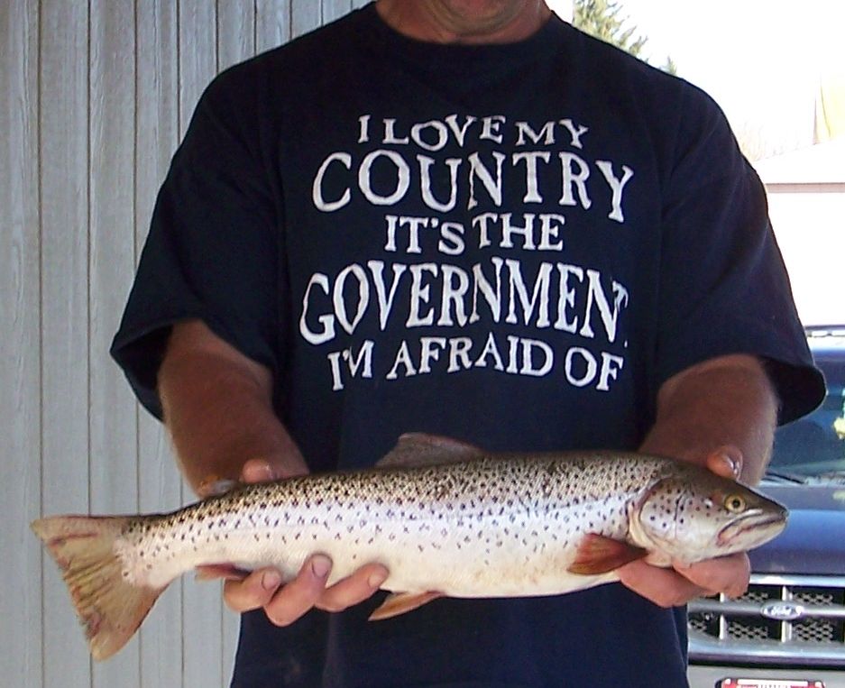
That is a making gravel setup on farm land on the other side. They set up last summer. The telephoto just makes it show up. The state declares eminent domain and tooked that farmers fields and opened pits. He gets a nice useless empty gravel pit in return and bye bye farmland. There really isn't much in the way of big industry here. Potato processing plants and the Budweiser and Corona malting plants. They grow a lot of good malting barley around. The travel brochures probably show the upper snake along the Henry's fork, ya know, towards Yellowstone, or coming out over at Jackson Lake, Wyoming. And that is where I want the touristas--away from me. But I catch some nice trout hereabouts. Great when you can drive for 5 minutes from your house and catch a fat Rainbow, or German Brown.
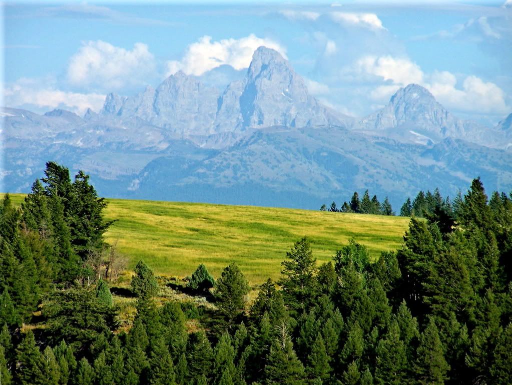
Up the road a bit is this view:
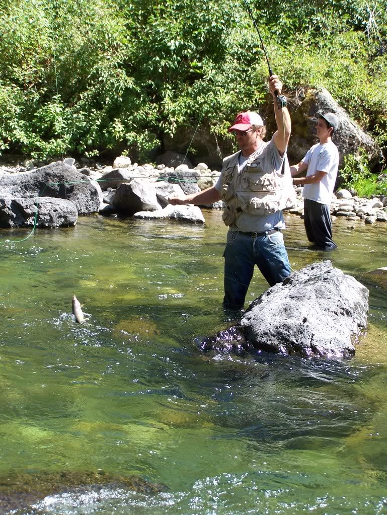
Before you drop into that certain canyon to do this:

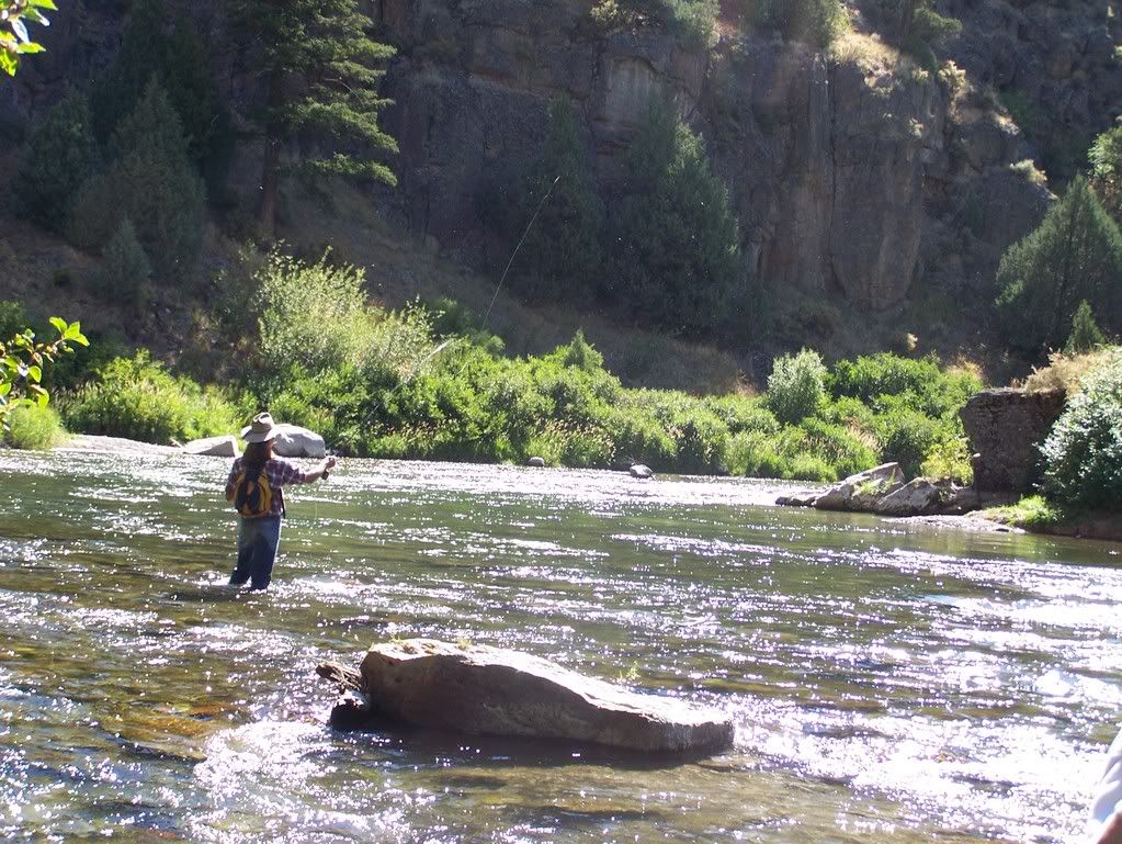
Very rarely do you see anyone else in there.