
Posted on 03/19/2011 6:43:20 AM PDT by tcrlaf
The Oshika Peninsula in Miyagi Prefecture has moved 5.3 meters and dropped 1.2 meters since the devastating March 11 earthquake, both records for land mass movements in Japan, government data showed Saturday.
The data provided by the Geospatial Information Authority in Tsukuba showed the peninsula on the Pacific coast moved in an east-southeasterly direction toward the epicenter of the quake that had a magnitude of 9.0.
The quake also triggered land mass movements in many areas ranging from the northeastern region of Tohoku to the Kanto region including Tokyo, the authority said.
A point in Yamada in Iwate Prefecture, north of Miyagi, moved 25 centimeters to the east, while a point in Chiba's Choshi, south of Miyagi, moved 17 cm to the east.
“Geospatial Information Authority”
That sounds odd. Sounds like an authority invented in the last week? Since the Japanese are feeling like their government is not in control?
I wonder how this would affect property lines.
Stunning.
Has any quake in recorded history resulted in such a massive land shift?
From the photos, I’ve wondered how much of that land will ever be recovered from the sea.
The New Madrid?
There was the earthquake during the early 1800s in the midwest that changed the course of the Mississippi River and landscape.
The 1964 Alaska earthquake, also known as the Great Alaskan Earthquake, the Portage Earthquake and the Good Friday Earthquake. Lasting nearly four minutes, it was the most powerful recorded earthquake in U.S. and North American history, and the second most powerful ever measured by seismograph. It had a magnitude of 9.2, at the time making it the second largest earthquake in recorded history.
The powerful earthquake produced earthquake liquefaction in the region. Ground fissures and failures caused major structural damage in several communities, much damage to property and several landslides. Anchorage sustained great destruction or damage to many inadequately engineered houses, buildings, and infrastructure (paved streets, sidewalks, water and sewer mains, electrical systems, and other man-made equipment), particularly in the several landslide zones along Knik Arm. Two hundred miles southwest, some areas near Kodiak were permanently raised by 30 feet (9.1 m). Southeast of Anchorage, areas around the head of Turnagain Arm near Girdwood and Portage dropped as much as 8 feet (2.4 m), requiring reconstruction and fill to raise the Seward Highway above the new high tide mark.

Middleton Island has repeatedly experienced earthquake-induced uplift, with 5 terraces visible from the last 800 years. The plateau on the right side of this picture is the original beach. The vertical uplift due to the 1964 earthquake was 3.6 meters.
http://www.aeic.alaska.edu/quakes/Alaska_1964_earthquake.html
Last link, this one had more detail on land movement for 1964.
The initial seismic waves from the Good Friday Earthquake were so powerful that buildings as far away as Seattle, Washington swayed. The ground in Houston, Texas, was briefly lifted by four inches (10 cm), and lifted by as much as 2.5 inches (6 cm) in Florida. For two weeks, the entire planet vibrated like a giant gong as the seismic waves cirlced the globe.
This quake altered more of the earth’s crust than any other earthquake on record. More than 25,000 square miles (40,233 square km) of land north and west of the fault had shifted to the southeast. Much of this land dropped between 2.5 and 7.5 feet (.75 and 2.3 meters). Much of the ground south and east of the fault had lifted an average of six feet (1.8 meters), with the maximum being 38 feet (11.6 meters) at Montague Island. Undersea ground in a line from Ninchinbrook Island to the Trinity Islands—parallel to the faultline—lifted as much as 50 feet (15.2 meters). This is what caused the tsunamis that devestated Valdez, Seward, Kodiak, and many other towns. Anchorage shifted laterally six feet (1.8 meters), Valdez 33 feet (10 meters), and Seward 47 feet (14.3 meters).
For three days after the quake, almost 300 aftershocks shook Southcentral Alaska. Eighteen months passed before the aftershocks finally ceased, which numbered more than 10,000.
http://www.greatlandofalaska.com/reference/GoodFridayQuake.html
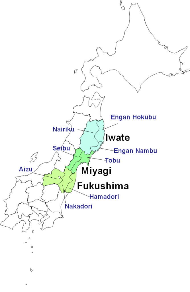
Here's a map.
More data
Record land mass movement has been observed in Miyagi. Quake-hit Oshika Peninsula moved 5.3 meters and dropped 1.2 meters according to Geospatial Information Authority. Goverment showed both records data on Saturday. Geospatial Information Authority based in Tsukuba issued a report that says that peninsula on the Pacific coast moved in East-SouthEast direction toward the quake epicenter. Earthquake also triggered land mass movements in many areas ranging from northeastern region of Tohoku to the Kanto region including Tokyo. In Iwate prefecture, a point in Yamada (north of Miyagi) moved 25cm to the east, while a point in Chiba’s Choshi, south of Miyagi, moved 17 cm to the east. Postseismic Slip Distribution Model by Geospatial Information Authority of Japan constructed a postseismic slip distribution model using surface displacement data observed by the GPS Earth Observation Network System (GEONET) for the 2011 off the Pacific coast of Tohoku Earthquake. You can visit this page for more data and charts. Eastward displacements are observed along the Pacific coast from Aomori Prefecture to Chiba Prefecture. The observed postseismic displacement partly includes crustal deformation due to aftershocks. A postseismic slip expands in and around the inferred coseismic slip area . In particular, relative large slips are estimated in the northwest and in the south (off Choshi) of the coseismic slip area.
For me, this helps. The quake was apparently off shore of the area in question


Here is the url for a .pdf with other info
http://www.gsi.go.jp/common/000059386.pdf
Large swaths of land probably won't be recovered as it was farmland and not commercially "high value" property such as that in Tokyo Bay. But measures to protect the remaining infrastructure (roads, rail, bridges, tunnels) that is reasonably recoverable will likely be made. Some may have to be relocated and rebuilt from scratch, to the extent those rural areas are re-populated by remaining/returning residents.
Some towns and villages may simply be gone for good. IMHO
Holland of the Orient.
The articles on liquidification have been interesting.
Horrible, horrible, long term misery.
No doubt the Global Warmists will use this as proof that the oceans are rising.
I was 10 years old and home alone in Anchorage when the 64 quake struck. Until the Seward highway was fixed, I remember Alyeska giving snow, ski and tide reports every morning as the highway was under water at high tide. You had to plan your trips to the Kenai penninsula carefully then.
Disclaimer: Opinions posted on Free Republic are those of the individual posters and do not necessarily represent the opinion of Free Republic or its management. All materials posted herein are protected by copyright law and the exemption for fair use of copyrighted works.