I don't recall; they weren't all freely available online, but here are a few from the Boulder County website.
From the link posted upthread, showing the path in 2007, for reference:
To give an idea of the neighborhood: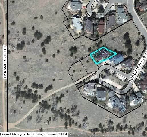
Note that the Stevens claim the path goes to their backyard (2059 Hardscrabble Drive is their property, in blue), and it clearly does not...and is not even present in this 2006 aerial from the Boulder County website (note that the yellow circle is a bit to the east of where the path should be--it was drawn to illustrate that the path is on the opposite side of the property from the Stevens property: 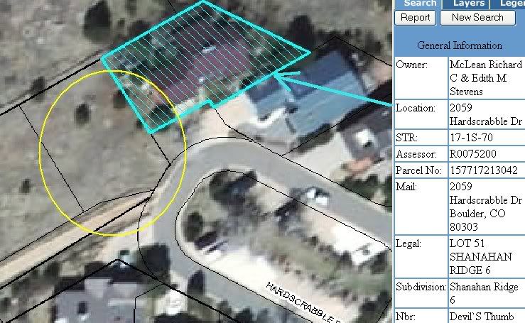 (Click here and select "E-Mapping" at the bottom. After the disclaimer, you should be taken to the Stevens-property aerial. I believe the property in question is 2069 Hardscrabble, but I have to get back to work and can't look it up now.