Unless something happens to tear it apart, I could see it easily becoming a 5.
Posted on 08/31/2017 8:37:54 AM PDT by metmom
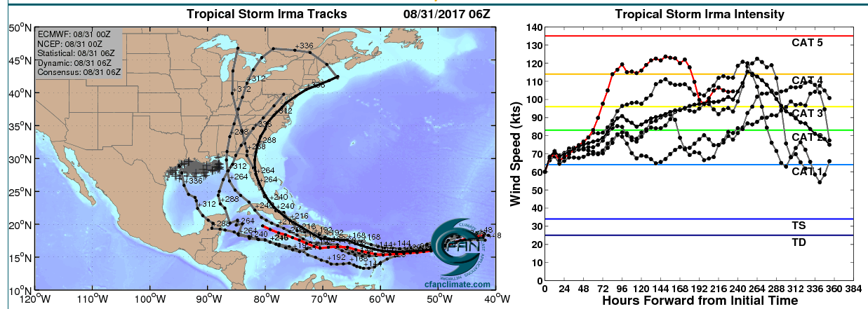
Above: Microwave satellite image of Irma at 4:24 am EDT Thursday, August 31, 2017. An eye is visible as a lighter spot in the solid ring of red that is the storm’s eyewall. Image credit: Navy Research Lab, Monterey.
Here comes trouble. Hurricane Irma built an eyewall over the warm waters of the Eastern Atlantic on Thursday morning, and is now rapidly intensifying, becoming a Category 2 hurricane with 100 mph winds at 11 am EDT. Irma is the fourth hurricane of this active Atlantic hurricane season, and comes three weeks before the usual September 21 date for the season's fourth hurricane. Irma appears destined to become a dangerous long-track major hurricane that could potentially impact the islands of the Caribbean as well as the mainland U.S. next week and the following week.
(Excerpt) Read more at wunderground.com ...
I’ve got a bad feeling about this one.
We’ve been lucky with hurricanes for awhile, and that luck was bound to run out.
Unless something happens to tear it apart, I could see it easily becoming a 5.
I do too.
The Gulf is incredibly warm, hurricane jet fuel.
It’s still early in the season and the water has not yet been stirred up to cool it off some.
It’s a well organised storm with a well defined eye out at a point where most storms are still iffy, the NWS is still trying to determine if it will amount to anything.
DARN! as we today drive thru Harvey remnants to Myrtle Beach (by Tuesday). Hoping Irma makes a U-turn in the middle of the Atlantic and collapses upon itself!
Cat 2 that far out is not a good sign....
God parted the Red Sea once, too.
I can only imagine if another storm like Andrew hit South Florida today, with as much growth as there has been there since 1992, how bad that would be.
Ping.....
Prepper ping.
I’m just reading through One Second After again.
Very sobering.......
Wondering if the high pressure that stalled Harvey might have enough left in it to push this one out...timing might be right for them to meet in the Atlantic..possibly?
Here is a link to an incredible world air flow map for all the weather heads out there.
At this point, it’s in a good position to be steered westward by the trade winds. Too far south for it to be snagged into the prevailing southwesterlies.
Nice thought, but not likely.
I don’t think so. I’m expecting NY to see the remnants of Harvey some time in the next few days.
Our forecast for the weekend, mostly Sunday, is about an inch of rain and much warmer temps.
That tells me it’s Harvey bringing up the warmth and moisture.
People who lived through Andrew have a big time respect for the power of a hurricane.
He's usually right on. His forecasting of Harvey was eerily correct.
I'm wondering how solar panels are doing, getting inundated by the flooding. What about them not producing energy in a stormy interval such as this?
Another nail in the coffin of our nation. What needs to be done isn't being done, as pols keep sniping at anyone who doesn't mindlessly accept their agenda.
The haters won't stop it with their hate. If they'd all stop being so dysfunctional, they'd do what's right to save the nation. They should be GRATEFUL that we have a President who knows how to build things, build them well, and knows how to keep costs honest.
Bookmark
If Andrew had hit only 10-15 miles north of where it did, the damage probably would have been five times what it was.
Disclaimer: Opinions posted on Free Republic are those of the individual posters and do not necessarily represent the opinion of Free Republic or its management. All materials posted herein are protected by copyright law and the exemption for fair use of copyrighted works.