Skip to comments.
It’s a bad snow year in the NW; possibly record-setting bad
The Seattle Times ^
| February 8, 2015
| Erik Lacitis
Posted on 02/09/2015 11:43:45 PM PST by steve86
SNOQUALMIE PASS — For sure, Warren Miller, who for decades annually produced a ski movie eagerly anticipated by his fans, would have passed on filming here this winter.
Snow levels are near a record-level disaster: possibly the lowest since the state began keeping annual counts 66 years ago.
Consider these numbers:
The record for lowest annual snowfall at Snoqualmie is 191 inches, in the 1976-77 season.
Hyak, a resort at the pass, ended up filing for bankruptcy.
Its attorney said in a Feb. 5, 1977, Seattle Times story, “The Hyak ski area has been open one day this year, and it rained the entire day.”
So far this season, snow at the pass: 74 inches.
Snoqualmie would need a phenomenal 117 more inches of snow to stay out of the record book.
The snow news is grim in other Northwest mountain areas.
Hurricane Ridge is at 13 percent of normal snow. Its webcam this past weekend showed big rain drops.
Stevens Pass: 47 percent of normal. Paradise: 43 percent. Mount Baker: 27 percent. White Pass: 8 percent.
The snow, where is the snow?
Those are dirt pockets poking up on that ski slope. That’s vegetation that decided it must be spring, and that ski-resort employees now are cutting back.
(Excerpt) Read more at seattletimes.com ...
TOPICS: Culture/Society; Government; News/Current Events; US: Washington
KEYWORDS:
Navigation: use the links below to view more comments.
first previous 1-20, 21 last
To: Mama Shawna
This is a more believable explanation, IMO, than the Nevada dust storm.
Rare ‘Milky Rain’ Most Likely Traveled From Ancient Lake in Oregon 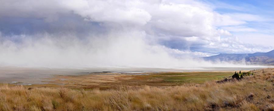
PULLMAN, WA. - The mysterious "milky rain" that hit parts of the Pacific Northwest last Friday was the result of a rarely seen weather phenomenon that began near an ancient saline lake nearly 500 miles away and not a storm in Northern Nevada according to Washington State University meteorologist Nic Loyd.
The National Weather Service received reports Friday afternoon of ashy debris coating vehicles and windows as a rainstorm moved into more than 15 cities, including Spokane and the Tri-Cities in Washington and Hermiston, Ore. While the ash-like substance has not yet been scientifically confirmed, it's believed to be from a dust storm clocking 60 mph winds that struck Summer Lake on Thursday night, according to the weather service.
Thanks to an exceptional parade of weather events, light-colored dust from Summer Lake's alkali beds appears to have traveled - distance-wise - the equivalent of an eight-hour car ride before landing, said Loyd.
Originally, a large storm that hit northwest Nevada was blamed for the unusual-colored rainfall.
"But the trajectory just didn't add up," said meteorologist Mary Wister of the weather service's Pendleton, Ore., office. "The wind direction would have carried the dust into western Montana, not in your direction."
21
posted on
02/10/2015 3:03:20 PM PST
by
steve86
(Prophecies of Maelmhaedhoc OÂ’Morgair (Latin form: Malachy))
Navigation: use the links below to view more comments.
first previous 1-20, 21 last
Disclaimer:
Opinions posted on Free Republic are those of the individual
posters and do not necessarily represent the opinion of Free Republic or its
management. All materials posted herein are protected by copyright law and the
exemption for fair use of copyrighted works.
FreeRepublic.com is powered by software copyright 2000-2008 John Robinson