Skip to comments.
The Mysteries of the First-Ever Map of the North Pole
Atlas Obscura ^
| February 27, 2017
| Cara Giaimo
Posted on 12/23/2024 10:54:11 AM PST by Red Badger
click here to read article
Navigation: use the links below to view more comments.
first previous 1-20, 21-33 last
To: V_TWIN
DOGE needs to look at every active federal grant on the books.
I bet it’s more obscene than we can imagine.
><
Yes and yes. I’d bet it’s exceedingly obscene.
21
posted on
12/23/2024 12:27:14 PM PST
by
laplata
(They want each crisis to take the greatest toll possiWe neve hear of gambling paying off $billioble.)
To: Red Badger
Problems, problems. Trust the Science.
22
posted on
12/23/2024 12:30:17 PM PST
by
philman_36
(Pride breakfasted with plenty, dined with poverty and supped with infamy. Benjamin Franklin)
To: Red Badger
The 1909 travelers claimed to have reached the North Pole, but it seems unlikely. Very uneven terrain, open sea in several places, and the claimed speed was 30% faster than later explorers managed, up until they hit open sea and were forced to return to base.
23
posted on
12/23/2024 12:40:52 PM PST
by
bIlluminati
(Good triumphs when good people take action.)
To: Red Badger
Gosh that must drive the Pygmies crazy!
24
posted on
12/23/2024 12:57:56 PM PST
by
Beowulf9
(c)
To: Cold Heart
There was a time when I hoped to buy an original antique map with one of those paintings on it of sea serpents and stuff.
Before I found out how hard to get something like that was that is.
25
posted on
12/23/2024 1:01:18 PM PST
by
Beowulf9
(c)
To: Red Badger
Th one on the Left was produced in 1606. Yet it appears to show Hudson’s Bay in What is now Canada. Hudson’s Bay wasn’t discovered until 1611...............And California where Alaska is today.
To: Red Badger
Great article. Thanks for all you do to keep FR interesting. I’ve read a lot of your posts this year. Merry Christmas and keep it going in 2025!
To: Beowulf9
Get a replica. Of course the price on some of those will make you think you are buying the real thing. Also some of the 1930’s to 80’s charts are available online. My grandson was very interested in charts and maps. I bought him a globe and a replica.
To: Red Badger
On the
Donald says it is an "absolute necessity" the US purchases Greenland thread I saw a minimap at post #27 showing:
1.North Pole
2.North Magnetic Pole, and
3.Pole of Inaccessibility.
Which is an entirely new one on me. Turns out to just be the remotest point from anything else just a few hundred miles from the others.
But learned the ANT-Arctic version of this point sports a statue of Vladimir Lenin courtesy of the old USSR.

The perfect polyp on the sphincter of the world.
29
posted on
12/23/2024 7:17:07 PM PST
by
MikelTackNailer
(Govt wisely keeps me from having nice things by giving that money to Ukraine and illegals.)
To: Red Badger
“Yet it appears to show Hudson’s Bay in What is now Canada.”
Vikings?
30
posted on
12/23/2024 11:03:03 PM PST
by
rxh4n1
( )
To: Cold Heart
I’m an artist. I wanted to own the actual painting.
31
posted on
12/24/2024 7:49:31 AM PST
by
Beowulf9
(c)
To: rxh4n1
Yes I considered that as well.......
32
posted on
12/24/2024 8:53:42 PM PST
by
Red Badger
(Homeless veterans camp in the streets while illegals are put up in 5 Star hotels....................)
To: Red Badger
In order to make his map useful for navigation, though, Mercator had to sacrifice accuracy in other areas—specifically, he had to stretch out the top and bottom parts of his map, making the lands and seas in the far North and South appear disproportionately larger than those nearer the equator. (This is also why so many people think Africa is the same size as Greenland, when it is really about 14 times bigger—the Mercator projection is still very common in schools.) Another thing I would really recommend is to teach children early (and adults who never had a clue) about the real scales of our own solar system. Mostly the planets are shown close together and close to the sun. Like here:
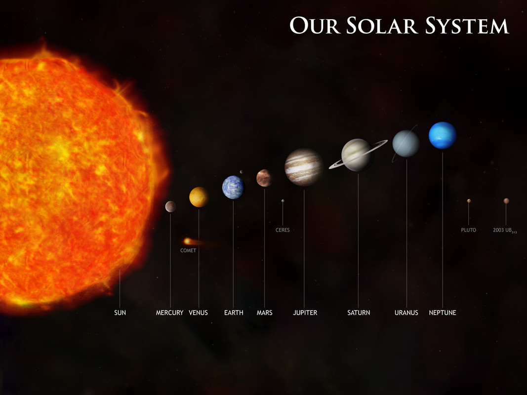
The reality of the sizes and especially the vast distances of empty space is stunning (and humbling, IMO).
https://solartoscale.com/ (vertical)
http://www.phrenopolis.com/perspective/solarsystem/ (horizontal)
Merry Christmas!
33
posted on
12/25/2024 7:34:15 AM PST
by
Moltke
(Reasoning with a liberal is like watering a rock in the hope to grow a building.)
Navigation: use the links below to view more comments.
first previous 1-20, 21-33 last
Disclaimer:
Opinions posted on Free Republic are those of the individual
posters and do not necessarily represent the opinion of Free Republic or its
management. All materials posted herein are protected by copyright law and the
exemption for fair use of copyrighted works.
FreeRepublic.com is powered by software copyright 2000-2008 John Robinson