
Posted on 09/18/2020 8:15:25 PM PDT by NautiNurse
This is not a Beta test. We have another Gulf of Mexico storm this busy 2020 Atlantic Hurricane season. We ran out of Alphabet names, and moved on to the Greek alphabet. Beta did not wait for the news cycle to end following the passing of Ruth Bader Ginsburg.
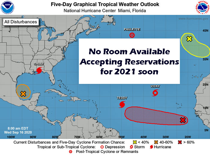
Mash the graphics below to enlarge. All links and images are self-updating.


Bouy Locations with Beta's Forecast Track

storm is off course from 4pm
center reformation to the NE and since it got stronger quicker the steering current pushed it more east
I suspect the track will shift many times as the steering currents break down
Tropical Storm Beta Discussion Number 6
NWS National Hurricane Center Miami FL AL222020
1000 PM CDT Fri Sep 18 2020
An Air Force Reserve Hurricane Hunter aircraft investigating Beta
this evening found that the center has re-formed or been tugged
northeastward by bursts of strong convection. While flying through
that convection, the plane measured a peak flight-level wind of 57
kt at 10,000 feet before descending to 2500 feet. To the northwest
of the center, the SFMR instrument on the plane measured a solid
area of 46-48 kt, and there have been multiple ship reports in the
region of 40-45 kt. Based on all these data, Beta’s initial
intensity is estimated to be 50 kt. The plane reported an
extrapolated minimum pressure of 996 mb on the last pass through
the center, which also corresponds to a typical 50-kt tropical
storm.
The aircraft fixes indicate that Beta is moving north-northeastward,
or 030/10 kt. This motion is expected to continue for the next 12
hours or so, but as mid-level ridging develops over the Southern
Plains on Saturday, Beta should begin to slow down and turn
westward. A slow motion in the direction of the Texas coast should
continue through day 3, with a shortwave trough possibly causing the
cyclone to recurve and move northeastward near or along the Texas
coast on days 4 and 5. While there remains a large amount of spread
among the track models, they all agree on this general scenario and
indicate that Beta is likely to move very slowly as it makes its
closest approach to the Texas coast. The initial position fixed by
the plane necessitated a northward shift in the NHC official
forecast compared to the previous forecast for the first 3 days, but
it comes back in line with the previous prediction on days 4 and 5.
Beta has been able to strengthen despite being affected by strong
southwesterly shear. The shear could begin to relax over the next
few days, particularly by day 2 and 3, which could allow for some
further strengthening. The SHIPS guidance remains the most
aggressive of the intensity models, and the NHC intensity forecast
leans heavily toward those solutions given Beta’s recent
intensification trend (which SHIPS seemed to handle better). Beta
is forecast to steadily strengthen and become a hurricane in a
couple of days as it approaches the Texas coast. Some weakening is
forecast on days 4 and 5 due to another increase in southwesterly
shear and possible land interaction.
Key Messages:
1. There is an increasing risk of heavy rainfall and flooding along
the northwest Gulf Coast Sunday through at least the middle of next
week as Beta is forecast to move slowly toward and along or offshore
of the coast through that time. For additional information, see
products from your local National Weather Service office.
2. Life-threatening storm surge and hurricane-force winds are
possible along portions of the Texas coast early next week, with
tropical storm conditions possible by late this weekend. Storm Surge
and Hurricane watches are in effect, and residents in these areas
should ensure they have their hurricane plan in place and follow
advice given by local officials.
FORECAST POSITIONS AND MAX WINDS
INIT 19/0300Z 25.5N 92.3W 50 KT 60 MPH
12H 19/1200Z 26.3N 92.2W 55 KT 65 MPH
24H 20/0000Z 26.8N 92.8W 60 KT 70 MPH
36H 20/1200Z 26.8N 93.7W 65 KT 75 MPH
48H 21/0000Z 27.0N 94.6W 70 KT 80 MPH
60H 21/1200Z 27.4N 95.5W 70 KT 80 MPH
72H 22/0000Z 27.8N 96.0W 70 KT 80 MPH
96H 23/0000Z 28.4N 95.8W 65 KT 75 MPH
120H 24/0000Z 29.4N 94.1W 55 KT 65 MPH
Summary Of 1000 PM CDT...Information
----------------------------------------------
Location: About 305 MI...E of the Mouth of the Rio Grande
About 315 MI...SW of the Mouth of the Mississippi River
Max Sustained Winds...60 MPH...
Movement:...NNE at 12 MPH
Pressure...996 MB...
CHANGES WITH THIS ADVISORY:
A Hurricane Watch has been issued from Port Aransas, TX to High Island, TX.
A Tropical Storm Watch has been issued from south of Port Aransas to the Mouth of the Rio Grande and east of High Island to Morgan City LA. p>
On/Off Hurricane List Mash Here--> 
by the way
Alpha was a huge waste of a name
A very brief subtropical storm that hit Spain
Subtropical storms count in the number of named storms but not in the tropical ACE index calculations
FYI
OOZ models won’t have the new center reformation position..so the starting point may be off
very important for slow mover coastal huggers forecast
might have to wait for 06z runs

BetaBoy???
Ah, geez :-)
Lake Charles radar is down. Guessing it has been down since the last storm?
I’ve known a few journalists in my day - but only one who could do higher math. Thanks for clearing that up.
Let’s hope Beta turns into Beto and falls off its skateboard.
Sorry, my comment was for a different thread...
Alpha formed off the coast of Portugal and made landfall there - rare for a named storm to hit Europe.
My bet is we’re going to be a Theta before the season ends.
Did Alpha last even 12 hours?
rare for a named storm to hit Europe.
—
It would not have gotten a name 20 years ago..
It is so hard to compare Eras
Global warming cultists just point to the increase of the number of storms as their “proof”
but even this year had a few weak tropical storms that we found using Scatterometer tech in blobs of convection that in the past was just ignored
Couldn’t they have named it Beto? Come on! How much more FUN would that be! ;)
HaHaHa!
Disclaimer: Opinions posted on Free Republic are those of the individual posters and do not necessarily represent the opinion of Free Republic or its management. All materials posted herein are protected by copyright law and the exemption for fair use of copyrighted works.